
Check the acquisition promise
Read the store headline, screenshots and description. What problem is the app promising to solve?
Study the storefront ↗
movingworld GmbH · iOS
Explore the ad evidence, study the storefront, and build your next acquisition hypothesis.
01 / Creative research
Read the store headline, screenshots and description. What problem is the app promising to solve?
Study the storefront ↗Explore apps with direct store-link matches. Compare their hooks and formats without assuming the same approach works here.
Browse observed advertisers ↗Store rankings and revenue estimates describe market context. They do not establish ad spend, conversions or ROAS.
Review the market context ↗02 / Storefront & product
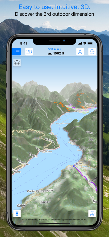
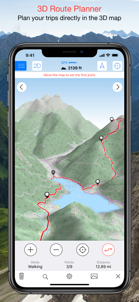
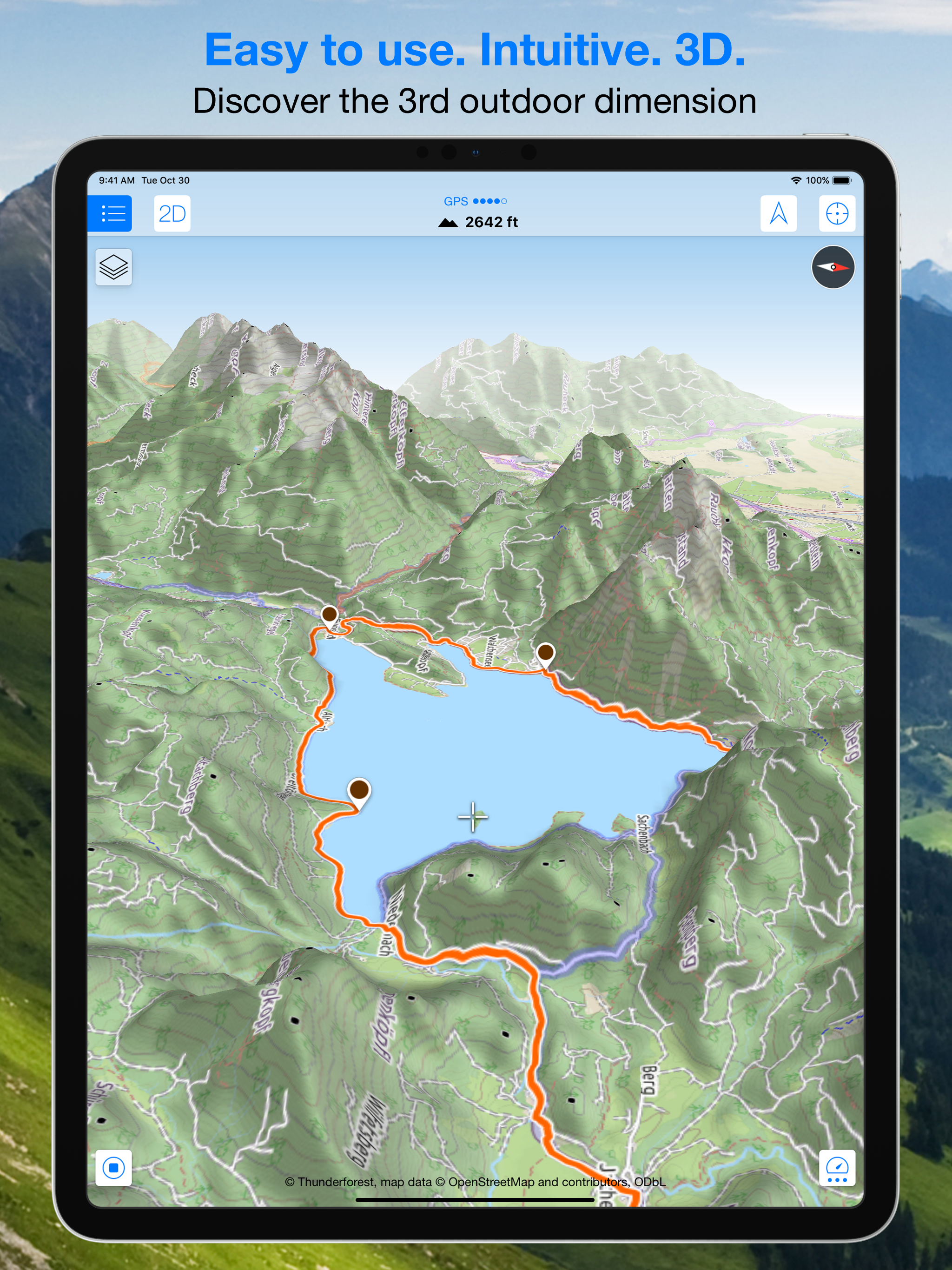
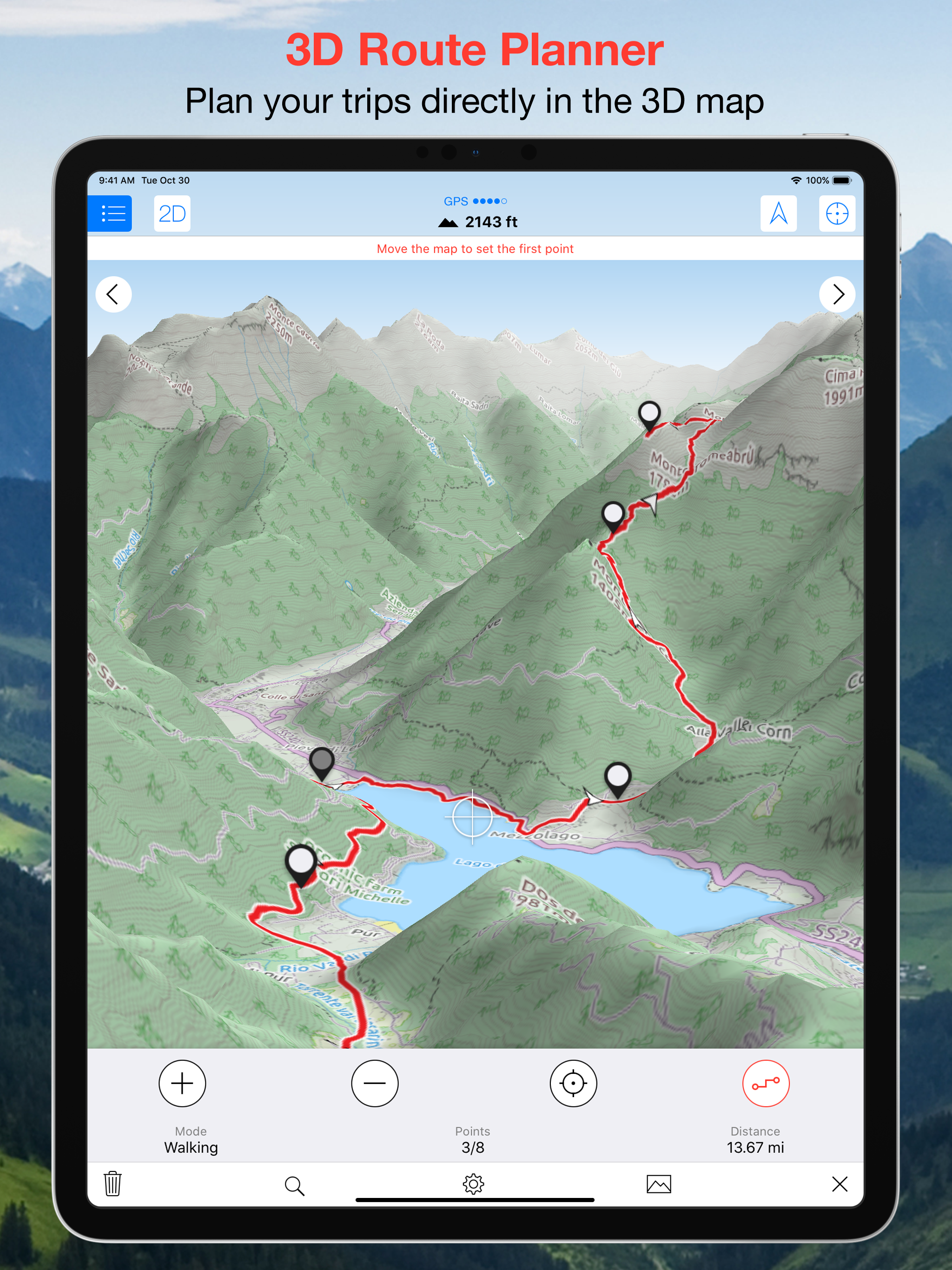
Study the product story and store experience behind the acquisition funnel.




03 / Market context
Keep revenue, downloads and store rankings separate from advertising performance.
I’ve been using this app for local hikes and it has been great! Love using the offline features to guide me around new hikes. Planning trips with this has really increased my confidence to try new hikes and find new routes for previous ones. It was a bit tedious at first to figure it out but once I got the plan a route feature figured out it’s awesome! I’d like for it to be able to change colors of track routing if I am hiking the same path on the way out. Also what I would REALLY like would be an easy way to print out my planned routes just in case my battery dies. Other than that this is a great bang for your buck app. It may be less user “friendly” than all trails but once you get the hang of it I really think it’s on par or even better! Also this is the first I’ve seen with 3D mode and that is useful as well!
This app is incredible. It's what I've been looking for since the first iPhone came out. Finally someone has executed the backcountry gps app to near perfection. Unlike other apps that have come before, this doesn't feel janky and half baked. Even if it didn't have 3D mode it would still be way better than others. The features are well thought out, the UX is great and the product is polished and high quality. The 3D mode is the icing on the cake and makes navigation even that much easier than using maps with just contour lines. Offline map support works great and you can even choose between different map sources, e.g usgs or open street view. The app is built with energy conservation in mind and doesn't use much power even whilst tracking your route. It includes great stats too such as an elevation graph, speed, vert covered, etc. As an example of how well thought out the app is, you can choose between displaying altitude based on the terrain map that's more accurate or altitude from the gps that's less accurate but useful if you're flying. I can't stop raving about how much I love this app. As a climber, backcountry skier and paraglider pilot this just became one of the best pieces of 'gear' I own, for $5 bucks it's an absolute bargain.
Overall this is a great app for planning and tracking a hike. The ability to view location and tracks offline without a cell signal is fantastic and helped me a great deal during a 2 week backpacking trip to Philmont Scout Ranch in New Mexico, where the boys are responsible for navigating, but having a 3d map of the routes as a backup was so valuable. It helps me during a hike to check the terrain to see how much more uphill or downhill I've got to do before giving the knees a break. A couple of usability improvements would be greatly appreciated. 1) When downloading a map, it would be nice to have the default map area be the area currently being displayed, not the current location. The use case is this: I've downloaded a route or waypoint list and now want to download a map of the area. I choose "Add New Map", and the default region is my current location, and I have to pan and scroll over to where I hope the waypoints are. So annoying. 2) The process to import a .gpx file is cumbersome and not intuitive. Save to Dropbox, then Open the Maps 3D app, then go to Track List, then Import Tracks, then choose Open Dropbox, then Select the File, then Export > Open In ... and finally Maps 3D. It's a convoluted exercise that I wish was easier.
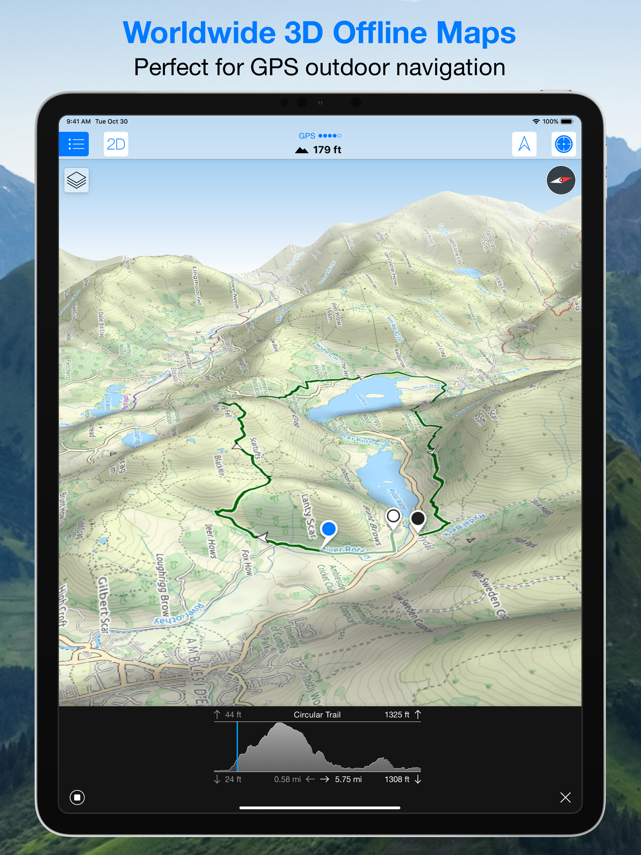
Maps 3D PRO – Explore the outdoors in beautiful 3D Plan, discover, and navigate your next outdoor adventure with maps that reveal the landscape as it...
| Name | Price | Type |
|---|---|---|
| Offline Routing | $3.99 | One-time |
| Maps Plus Package | $13.99 | One-time |


