
Check the acquisition promise
Read the store headline, screenshots and description. What problem is the app promising to solve?
Study the storefront ↗
rdzl · iOS
Explore the ad evidence, study the storefront, and build your next acquisition hypothesis.
01 / Creative research
Read the store headline, screenshots and description. What problem is the app promising to solve?
Study the storefront ↗Explore apps with direct store-link matches. Compare their hooks and formats without assuming the same approach works here.
Browse observed advertisers ↗Store rankings and revenue estimates describe market context. They do not establish ad spend, conversions or ROAS.
Review the market context ↗02 / Storefront & product
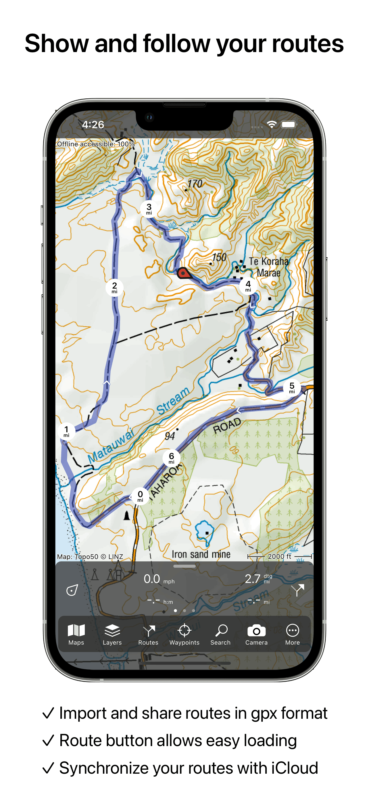
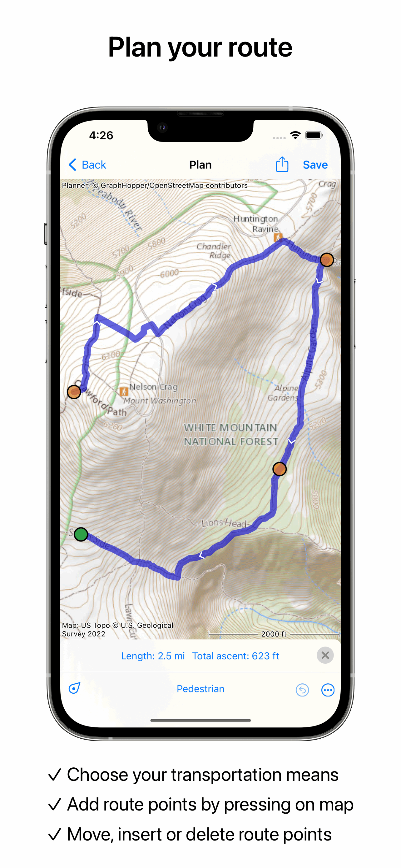
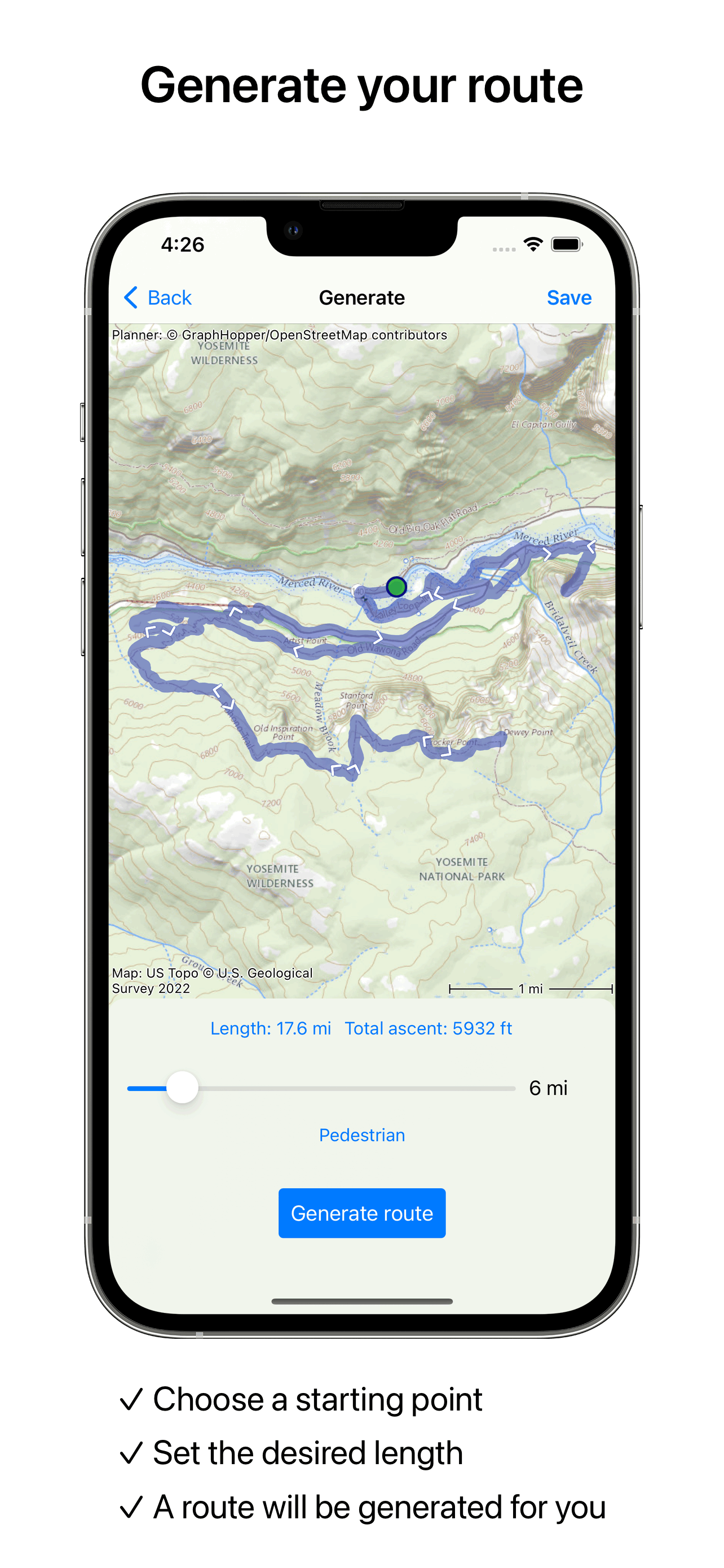
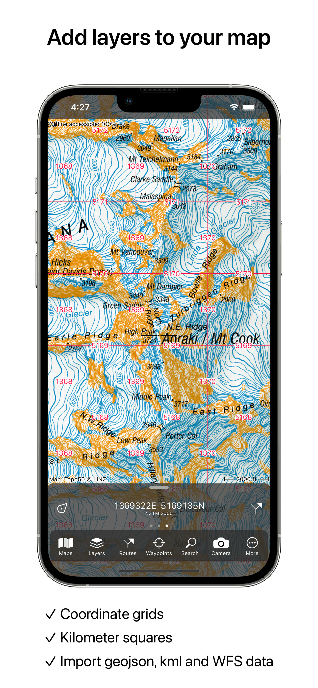
Study the product story and store experience behind the acquisition funnel.




03 / Market context
Keep revenue, downloads and store rankings separate from advertising performance.
The strength of this app is that it finds great routes all over the world. While some apps work decently in certain regions, for example Google Maps in the US, they do not perform well elsewhere. I used Topo GPS in North America, Europe and Asia in three different countries on each continent, and always got good results, often those that a local would pick, both for hiking and biking.
Seemed like it was going to solve all my problems: one-time map purchases rather than subscriptions, and supports phone, tablet, and computer. Unfortunately the map, at least the one I've purchased, is quite limited in resolution – you can't zoom very far in, even though the (free) map source it uses has more detail. It's ok for driving and casual browsing, but not sufficient for hiking. On top of that I got no response from the developer when reporting this. Finally the UX needs improvement, for example with how it whites out the map squares when zooming rather than magnifying them until the new image data loads.
This is the best hiking map app I’ve tried so far. The topo info is accurate and detailed. The app itself is simple to use. Would like more overlays that would be useful to someone who does a lot of bushwhacking.
Makes from your iPhone, iPad, Apple Watch and/or Macbook a complete GPS device with detailed topographic maps. Viewed maps will be stored on your devi...
| Name | Price | Type |
|---|---|---|
| 64 km² of Great Britain | $0.99 | One-time |
| United States - Aerial imagery | $0.99 | One-time |
| United States topographic map | $2.99 | One-time |
| Hiking node network | $2.99 | One-time |
| Topographic map New Zealand | $3.99 | One-time |
| Topographic map of Spain | $3.99 | One-time |
| Topographic map of Sweden | $3.99 | One-time |
| Topographic map of Norway | $3.99 | One-time |
| Topographic map of Germany | $3.99 | One-time |
| OpenStreetMap world coverage | $4.99 | One-time |


