
Check the acquisition promise
Read the store headline, screenshots and description. What problem is the app promising to solve?
Study the storefront ↗
LW Brands, LLC · iOS
Explore the ad evidence, study the storefront, and build your next acquisition hypothesis.
01 / Creative research
Read the store headline, screenshots and description. What problem is the app promising to solve?
Study the storefront ↗Explore apps with direct store-link matches. Compare their hooks and formats without assuming the same approach works here.
Browse observed advertisers ↗Store rankings and revenue estimates describe market context. They do not establish ad spend, conversions or ROAS.
Review the market context ↗02 / Storefront & product
Study the product story and store experience behind the acquisition funnel.



03 / Market context
Keep revenue, downloads and store rankings separate from advertising performance.
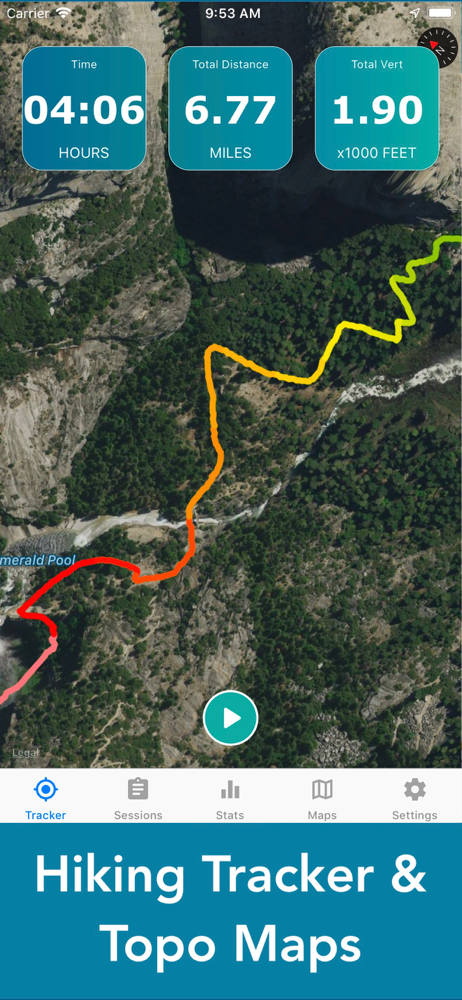
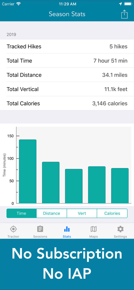
Ok, developers take note. This is how you make apps. No subscription. No monthly/yearly fees. When I pay for an app, I expect to own it, not be renting it. Rant over. The app performs beautifully. The battery saving feature alone is well worth it. Seems very accurate and oh so easy to use. Start a track, put your phone in you sack, and forget about it. After a 12 mile walk placing trail cams for nature videos, I had only used 12% battery. Pretty dang good. Ps. I do not normally write reviews, but this app deserves notice.
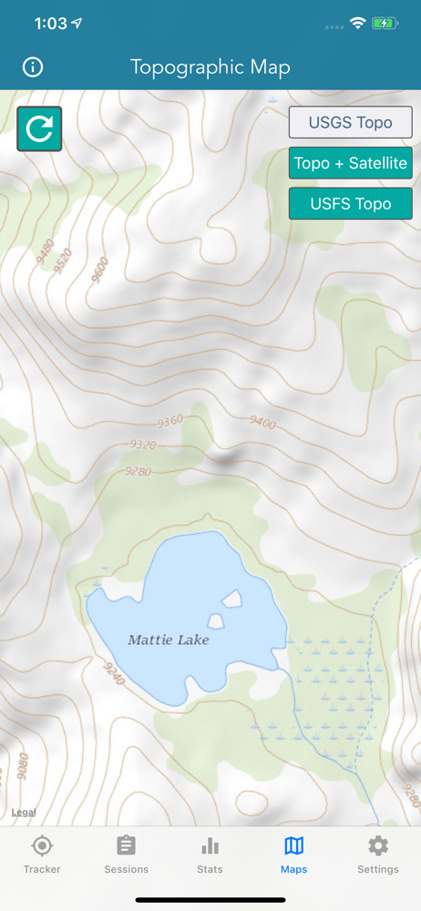
This is a pretty good app but it has two features that I think ought to be included: 1) I cannot force the app to save maps when I am home or in a lodge using Wi-Fi. It only appears to save the maps as the developer intended when I am somewhere using cell phone data service, which is not only more expensive but problematic if I’m in a place where there isn’t any cell service. It’s also very unclear how long maps are stored when I do successfully save them. This makes it impossible and potentially dangerous to rely on this app in many situations. 2) I can’t find any way to export the sessions into a .KML or .GPX format so that I can pull it into another mapping program where I plan my routes and save records of old trips. I understand that this app is really intended as an exercise tool, but I have used it in remote situations to ensure that when I am off trail I am actually where I think I’m supposed to be in wilderness exploring using a paper topo map. It’s great to be able to use just my cell phone and not carry another heavy electronic device and batteries on a backpack to validate my map reading skills!
I recently started hiking again after 13 years of being on a cane/walker and have been really excited to track my progress as I go. I have loved being able to show my doctors/surgeon all the progress I have made. However, it appears none of my hikes have been accurately tracked. This morning I stopped to sit for a few minutes and while I was checking my route on the app, my distance kept increasing. When I sat down I was at exactly a mile but when I got up I was at 1.05 miles. The last update notes for this app state that the distance problem was fixed but clearly it’s not and now I feel terrible about excitedly showing everyone my progress. I know it may seem trivial but for someone who was essentially bedridden for my entire adult life, this is devastating. So, thanks for “fixing” this issue.
The #1 Hiking Tracker App for iOS TRACK YOUR STATS! + Total distance + Total vertical + Total time + Calories burned * Optimized to save battery...


