
Check the acquisition promise
Read the store headline, screenshots and description. What problem is the app promising to solve?
Study the storefront ↗
Iphigenie · iOS
Explore the ad evidence, study the storefront, and build your next acquisition hypothesis.
01 / Creative research
Read the store headline, screenshots and description. What problem is the app promising to solve?
Study the storefront ↗Explore apps with direct store-link matches. Compare their hooks and formats without assuming the same approach works here.
Browse observed advertisers ↗Store rankings and revenue estimates describe market context. They do not establish ad spend, conversions or ROAS.
Review the market context ↗02 / Storefront & product
Study the product story and store experience behind the acquisition funnel.


03 / Market context
Keep revenue, downloads and store rankings separate from advertising performance.
I have used the app for many years. I subscribe to the French and Swiss maps and use them both for planning purposes and up in the mountains. Easy to use and saved me a few times lost in bad weather. Highly recommended.
I have been using IPhigenie for 12 years now as a navigational aid while hiking and walking in France. The access to the range of map bases in France is excellent - IGN maps of varying scales, cadastre, satellite are very helpful when I am trying to find a way through an unknown area. I can easily switch while planning or underway. I save my traces in folders and can share them with others and can import traces that I want to try and follow. I can load the maps before hiking and have full access to my position and to the maps even when there is no cellular access. In fact I started using iphigenie on an iPad without a cellular connection and later moved to an iPhone. Now I have iphigenie on my Mac also and the large screen makes it handy for planning purposes - creating new routes, editing routes and printing maps of my route (I use screenshot for this). I now have 12 years of saved tracks - mine and those of others that I have imported. I have used some of the other navigational apps and none appear to do everything that I can do with Iphigenie. With all its power, it is perhaps less intuitive than some other apps. I have read that the new developers are working to improve its ease of use. But from the beginning, I could do what I needed to do and with time, I learned to use its more advanced features. It has been an excellent tool that has helped me figure out so many great hikes and to explore confidently when I am out hiking.
It’s amazing. The IGN maps of France are amazing and being able to access them on phone or iPad through this app, at the many scales, is so practical.
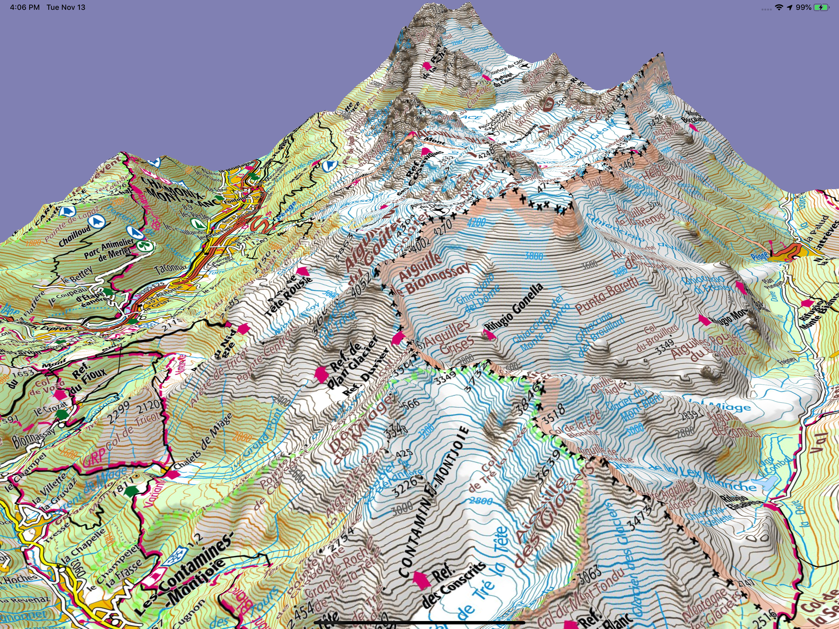
With more than 80 base maps and overlays, Iphigénie stands out as the benchmark mapping application. Designed for hiking, trail running, long-distance...
| Name | Price | Type |
|---|---|---|
| iPhiGéNie Vmax | $4.99 | One-time |
| Cartoweb topo Belgium (Annual) | $9.99 | Yearly |
| Iphigénie Carto Legacy (Annual) | $22.99 | Yearly |
| Iphigénie Carto subscription (Annual) | $24.99 | Yearly |
| Italian maps (Annual) | $24.99 | Yearly |
| Outdoor Pack (Annual) | $39.99 | Yearly |


