Check the acquisition promise
Read the store headline, screenshots and description. What problem is the app promising to solve?
Study the storefront ↗
Crookneck Consulting LLC · iOS
Explore the ad evidence, study the storefront, and build your next acquisition hypothesis.
01 / Creative research
Read the store headline, screenshots and description. What problem is the app promising to solve?
Study the storefront ↗Explore apps with direct store-link matches. Compare their hooks and formats without assuming the same approach works here.
Browse observed advertisers ↗Store rankings and revenue estimates describe market context. They do not establish ad spend, conversions or ROAS.
Review the market context ↗02 / Storefront & product
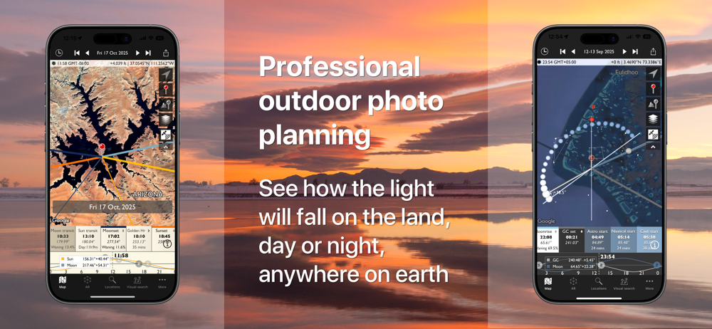
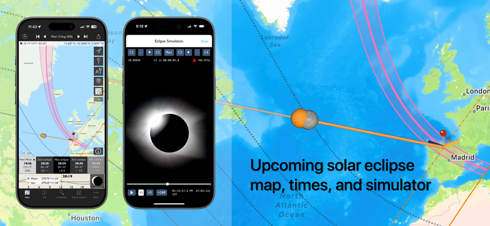
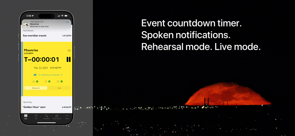
Study the product story and store experience behind the acquisition funnel.


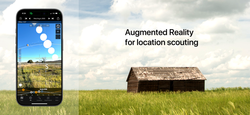


03 / Market context
Keep revenue, downloads and store rankings separate from advertising performance.
I got this 2 years ago after I drove to location for a sunset, only to find the sun was setting behind a hill, 15 minutes earlier than I expected, when I arrived. I use it religiously ever since, especially for sunset photos. Love it. I also do drone photography and with is where I think the app can be improved. It would be nice if I could set the red pin height up to 5000 FT AGL. [Note: Anything above 400’ AGL requires an FAA Waiver and a UAS NOTAM.] This would be helpful in two ways. First, for normal sunsets, it helps with the true placement of the drone to the landscape. Second, I like to take inverse sunset videos by starting low at the moment of sunset and climbing vertically cause the sun to rise. This can be tricky to time and a tool that would calculate the angles 50’ to 400’ AGL would assist in calculating start and rate of climb.
Having TPE in the toolbox is really important to me so I make the most of my photography time. Surely happenstance photography ‘happens’ and I like to have my camera with me on a walk about with the dogs or just being out, intentional photography is deliberate and planned. You are still going to get surprises for content but hope to capture photos and videos of landscape and cityscape with the best opportunity for them to make a memorable impression. I am very please with Skyfire and when I find a quiet morning in the winter with little wind and a good chance of color I am headed to the lake to see if some long exposure photography can bring out some amazing photos with mirror like reflections of the landscape and sky. So many opportunities to use it for both day and night photography, it really is a tool for the informed photographer.
It is great to show you the elevation and “Flow” of the land. Also it has 4 types of maps showing this in Google & 2 using Apple maps. You can see what you are getting into, but you must remember the this is just a map form yesterday, new trails or changes are not shown. Also the view is of the elevation is great as long as they haven’t built anything or grasses/trees grown too much, which is not true for Charlotte,NC. All this being said, I related the program a 5 Star because it shows you so many points of view, the sun & moon flow in the sky at a specific time and a better location to at least start looking for a good spot to get the frame you want. This program is great for starting a plan from your house and then going out for the picture.
"Head and shoulders above the crowd is The Photographer’s Ephemeris. Odd name, great app." - National Geographic "One of the most useful apps for any...
| Name | Price | Type |
|---|---|---|
| Upgrade to Skyfire Plus (3-months) | $4.99 | One-time |
| Skyfire (3-months) | $9.99 | One-time |
| Skyfire Plus (3-months) | $12.99 | One-time |