
Check the acquisition promise
Read the store headline, screenshots and description. What problem is the app promising to solve?
Study the storefront ↗
DroneDeploy · iOS
Explore the ad evidence, study the storefront, and build your next acquisition hypothesis.
01 / Creative research
Read the store headline, screenshots and description. What problem is the app promising to solve?
Study the storefront ↗Explore apps with direct store-link matches. Compare their hooks and formats without assuming the same approach works here.
Browse observed advertisers ↗Store rankings and revenue estimates describe market context. They do not establish ad spend, conversions or ROAS.
Review the market context ↗02 / Storefront & product
Study the product story and store experience behind the acquisition funnel.
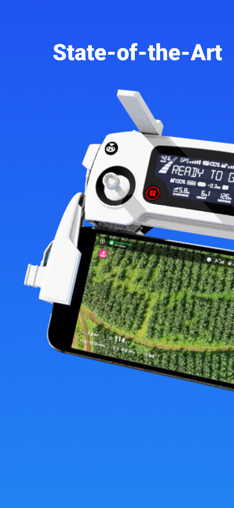


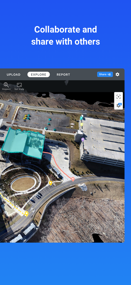
03 / Market context
Keep revenue, downloads and store rankings separate from advertising performance.
I’ve been using a Mavic 2 and GSPro for a while, but with the recent firmware update with Remote ID, it was no longer supported, so I had to use DroneDeploy. This app fails on numerous fronts…It FAILS to resume a mission if more than one battery is required. When I try to exit automatic landing, it still persists, even if I close the application and disconnect my iPad - PILOTS BE WARNED OF IMPRECISE AND AGGRESSIVE LANDINGS!! Be ready to manually catch a fast descending drone. I attempted to set the camera settings in DJI GO4, but drone deploy overrode the parameters anyway and used a shutter speed WAY too low for mapping that resulted in my imagery having motion blur. It also fails to capture the required images at the preprogrammed overlap, which makes basic mapping unbelievably challenging. I used an iPad Gen6 running the latest iOS, but the app is extremely slow if I’m lucky enough for it not to crash at all. I’m not sure how anybody is having any success with this application. Unfortunately Pix4D capture just doesn’t have a lot of settings to control…
First time user thoughts. The app is pretty easy to get into. There are some weird bugs with battery swapping. The app gets a brain freeze and there is no on screen notification of what is going on. Some times the drone would just sit there after i selected go fly. At one point i knelt down to pick it up to bring it to the bench and the propellers spun up. So some sort of app feedback on what it is attempting to signal to the drone would be an improvement. Second issue i had, the app would crash or go to my phones home screen during a flight. When this would happen i couldn’t get the app back on and displaying anything. The app would just load to a blank blue screen. One time the app opened and stated asking me survey questions. All while my drone was flying. That was my biggest concern. Once the flight is complete uploading the photos was pretty easy. Seems like patience is key here. Just have to wait a day or so for the terrain model and map to generate after uploading the photos. The result is fabulous. My favorite part of the system is choosing AGL altitude mode where the app automatically flys a set height above the terrain. This is great for hilly areas and avoiding flights that might be too high otherwise. Overall this is a snap, but be very careful with your inputs and keep your finger on the mode switch or you could end up with a automatically crashed drone.
I’d like to get my drone up in the sky at elevation before I start the flight plan. Put the camera down focus take a picture then start the flight plan. Everything went great today even with 10 mile an hour breeze. Changing batteries on the first landing the drone was off by about 20 feet and landing and some brush. I’m sure it would’ve stopped but, why wait. I took control and brought it over to the landing point manually. Changing batteries was no problem, put the drone up to altitude once again and continue the flight. Now it’s all in the processing.
DroneDeploy is the leading flight app for drones with millions of missions flown by over 130,000 pilots. DroneDeploy is the leading cloud software p...


