$1.0K
Revenue
1.0K
Downloads
3.8 ★
Rating
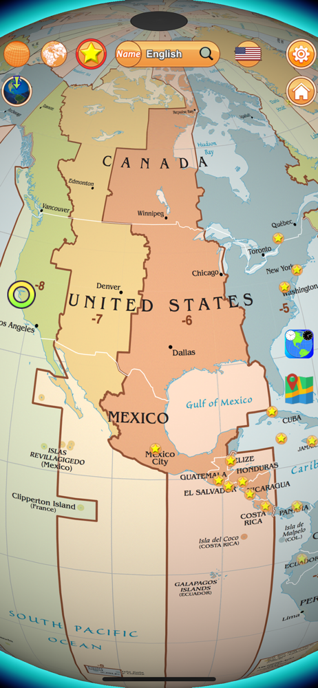
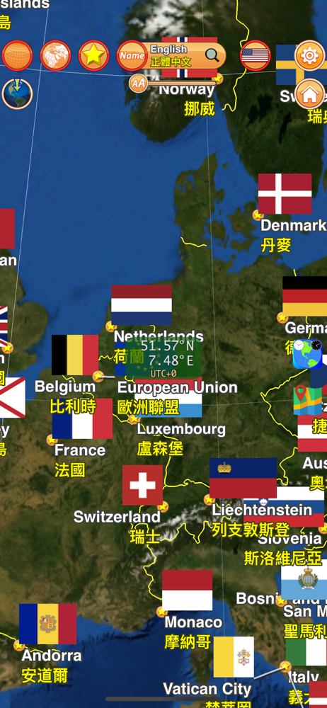
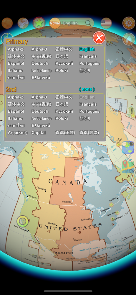
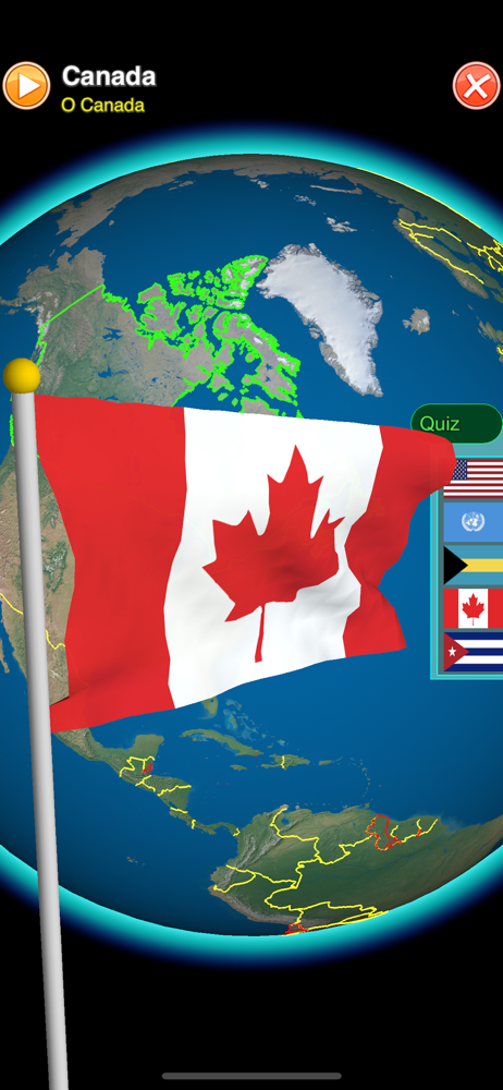
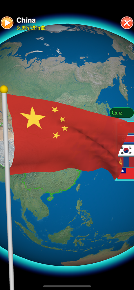
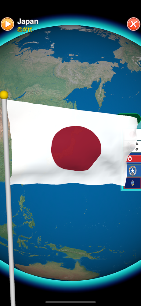
Screenshots


How Much Does Globe Earth 3D Pro Make?
Monthly Revenue
$1.0K
Yearly Revenue
$12.0K
Per Download
$1.00
Platform Performance
🍎iOS
Revenue
$1.0K
Downloads
1.0K
Rating
3.8 ★(13)
Rating Distribution
3.8
★★★★☆
13 reviews
5
23%
4
8%
3
0%
2
8%
1
62%
Top Countries
🇩🇪 DE🇮🇹 IT🇪🇸 ES
Reviews (3)▼
★★★★★WayneHTF4/30/2025
Utah and Minnesota Flag Change
This is 2025, can you please change the flags of Utah and Minnesota? They changed it during 2024.
★★★★★chadkarnes1/13/2021
Flag movement
This app is awesome but all the flags don’t fly realistic way and aren’t flying proudly like it does on an actual flag pole please fix that in the next update to show each of the flags of state And country it’s pride and this app will be so much better ❤️🧡💛💚💙💜
★★★★☆Eodwife4ever3/2/2020
Few suggestions
This app is amazing. Just two things. The anthem of Somalia won't play. The flag of French Guiana is out of date. The capital of Burundi is no longer in Bujumbura
Version History (33)▼
9.2.07/7/2023
9.1.05/3/2023
9.0.09/24/2022
8.6.06/8/2022
8.5.010/11/2021
8.0.112/6/2020
8.0.012/5/2020
7.6.03/1/2020
7.5.011/4/2019
7.1.74/18/2019
Available In (115 Countries)▼
🇺🇸 United States🇦🇺 Australia🇨🇦 Canada🇨🇳 China🇫🇷 France🇩🇪 Germany🇬🇧 United Kingdom🇮🇹 Italy🇯🇵 Japan🇰🇷 South Korea🇷🇺 Russia🇩🇿 DZ🇦🇴 AO🇦🇷 Argentina🇦🇹 Austria🇦🇿 AZ🇧🇧 BB🇧🇾 BY🇧🇪 Belgium🇧🇲 BM🇧🇷 Brazil🇧🇬 Bulgaria🇨🇱 Chile🇨🇴 Colombia🇨🇷 CR🇭🇷 Croatia🇨🇿 Czech Republic🇩🇰 Denmark🇩🇴 DO🇪🇨 EC🇪🇬 Egypt🇸🇻 SV🇫🇮 Finland🇬🇭 GH🇬🇷 Greece🇬🇹 GT🇭🇰 Hong Kong🇭🇺 Hungary🇮🇳 India🇮🇩 Indonesia🇮🇪 Ireland🇮🇱 Israel🇰🇿 KZ🇰🇪 Kenya🇰🇼 KW🇱🇧 LB🇱🇹 Lithuania🇱🇺 LU🇲🇴 MO🇲🇬 MG🇲🇾 Malaysia🇲🇽 Mexico🇳🇱 Netherlands🇳🇿 New Zealand🇳🇬 Nigeria🇳🇴 Norway🇴🇲 OM🇵🇰 Pakistan🇵🇦 PA🇵🇪 Peru🇵🇭 Philippines🇵🇱 Poland🇵🇹 Portugal🇶🇦 QA🇷🇴 Romania🇸🇦 Saudi Arabia🇸🇬 Singapore🇸🇰 Slovakia🇸🇮 Slovenia🇿🇦 South Africa🇪🇸 Spain🇱🇰 LK🇸🇪 Sweden🇨🇭 Switzerland🇹🇼 Taiwan🇹🇭 Thailand🇹🇳 TN🇹🇷 Turkey🇺🇦 Ukraine🇦🇪 UAE🇺🇾 UY🇺🇿 UZ🇻🇪 VE🇻🇳 Vietnam🇧🇴 BO🇪🇪 Estonia🇱🇻 Latvia🇳🇮 NI🇵🇾 PY🇰🇭 KH🇦🇫 AF🇬🇪 GE🇮🇶 IQ🇱🇾 LY🇲🇦 MA🇲🇿 MZ🇲🇲 MM🇾🇪 YE🇧🇭 BH🇨🇾 CY🇲🇹 MT🇷🇸 RS🇧🇯 BJ🇧🇫 BF🇨🇲 CM🇨🇬 CG🇨🇮 CI🇯🇴 JO🇱🇦 LA🇲🇱 ML🇸🇳 SN🇹🇿 TZ🇺🇬 UG🇿🇲 ZM🇿🇼 ZW
Supported Languages (14)▼
DutchEnglishFrenchGermanGreekItalianJapaneseKoreanPolishPortugueseRussianChineseSpanishThai
App Details▼
"designed to engage the curious as well as entertain the seasoned Vexillologist. Worthy of a 5 star rating." by Educational App Store http://www.educ...
Publisher
Chien-Yuan Chen
Ta
Similar Apps

Flag Ceremony
Vito Royeca

Great Thinkers: Rutherford
Ventura Educational Systems

National Anthems & Flags
俊 姜

GlobeViewer PRO
RAB-Software

GlobeViewer Moon PRO
RAB-Software
Nautical Signal Code Flags
Ventura Educational Systems

Spelling Bee Champ
Ventura Educational Systems
5.0 ★

iWorld South America
Lynne Bolduc
4.2 ★
GeoKids World
Alexandre Minard
3.5 ★

My First Weighing Exercises
Alexandre Minard
2.0 ★