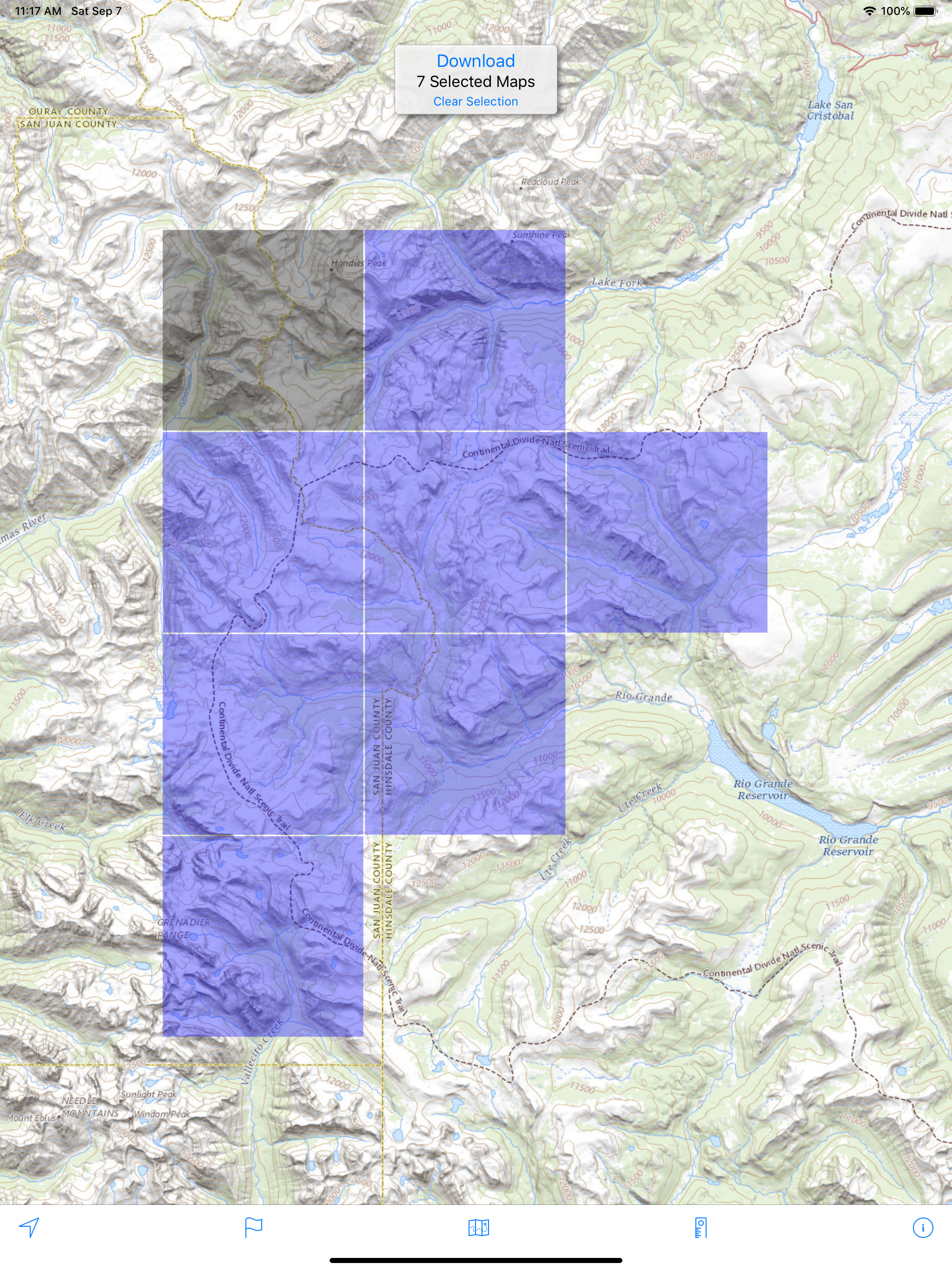
Screenshots

How Much Does Topo Maps US Make?
Platform Performance
Rating Distribution
Top Countries
Reviews (3)▼
This is a great app! I have been using it for about 5 years give or take a bit. You can download the maps, estimate routes and never worry about being on line. There are a few features that others offer, but every app has something you want that doesn’t exist. The beauty of this app is has the most important features and has a one time fee. You can store your maps on your computer to make changing phones easier. Although this feature requires a bit of technical know-how, it seems to work seamlessly- at least on my Mac. The one feature that would make this easier is to have a laptop map manager(?)! Get updates and the disperse them the you have a bit of time to update.The short story is if you want a good mapping app, that works, this one is it. I use other apps, but I always come back to this app to do the real work.
So far i am liking this app really well. It took me a bit to figure out some things - like down loading the map squares. But it seems to work well for looking at the map and seeing where you are. One item about this app that i think is killer is the distance drawing facility. One selects the measure option and then draw lines on the map then you see how long that route is. It doesn’t appear to do some other things one might expect, like track you route, but what it does it does well and i prefer that! There seems to be a few bugs: My most compelling issue is that somethings just don’t show up. EI: I wanted to look at Long Island, Willapa Bay Area, but it wasn’t showing up until I changed the zoom level. So I had to down load the squares, then zoom in quite a bit to se the island. One thing that could be improved is the transfer/loading of the tiles. As far as I can tell, one has to do this one tile at a time. Select a group of tiles and download. I commonly forget to download an area, then am in the mountains and off the grid before I remember I don’t have the map. So I spend my evenings selecting 20 or so tiles, downloading them to my phone. I also have a tablet, that I wish just could have the same tiles I downloaded on my phone. And, when you get a new phone, one has to start the processes all over again….
This is a really excellent topo app without the silly cloud or social features that seem to be commonplace on nearly all other topo map apps. Thanks developer! I owe you many beers for all the trouble this app has gotten me out of in the mountains. Some of what makes this app great: - Doesn’t require a user account to access the publicly available topo and imagery base maps. Just download before you go, then turn off Map Management to hide the download maps interface. - Allows you to save the maps for offline use which is the cure function all such map apps should have but in reality many others do not. Let’s be realistic, when you’re in the mountains you won’t have cell service and this developer gets it. - Can trace your route, drop flags, and categorize and hide them to reduce map clutter. - Can get your GPS location instantly (new awesome feature, and useful for emergencies)! - Uses little battery when tracing and less when not tracing. I was seeing ~10-15% for a half day of hiking on an iPhone 8. (If you are seeing high battery drain, it’s not this app. It’s probably your other background apps refreshing. Turn off background app refresh for useless apps, or toggle low battery mode to disable it globally and you’ll see that this app uses minimal battery. Also, use airplane mode If you’re not in a service area.) - Map export is reasonably easy: send via email, or bulk export via a simple freeware, no-install WebDAV program.
Version History (25)▼
Available In (115 Countries)▼
Supported Languages (1)▼
App Details▼
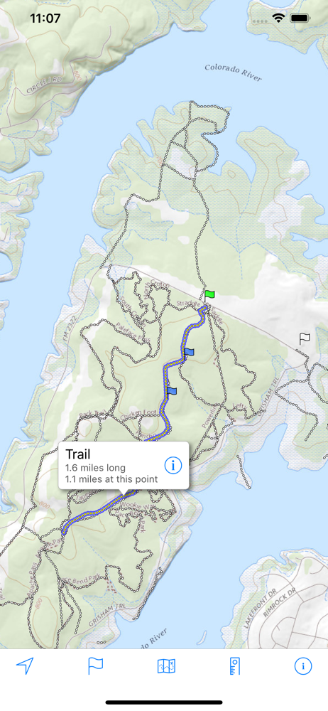
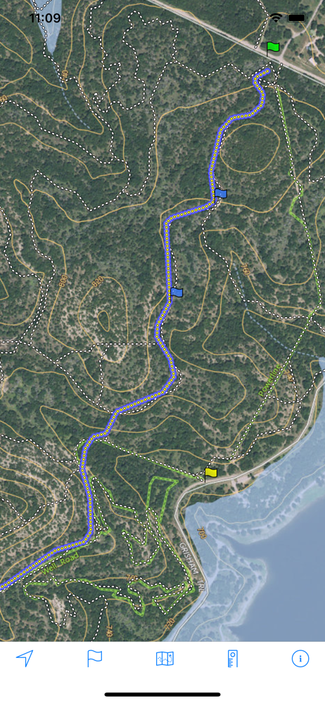
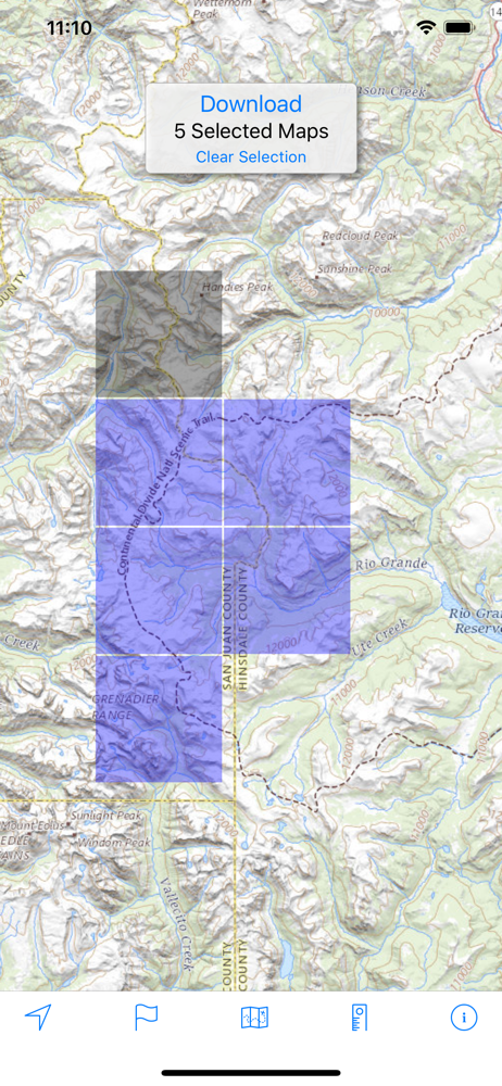
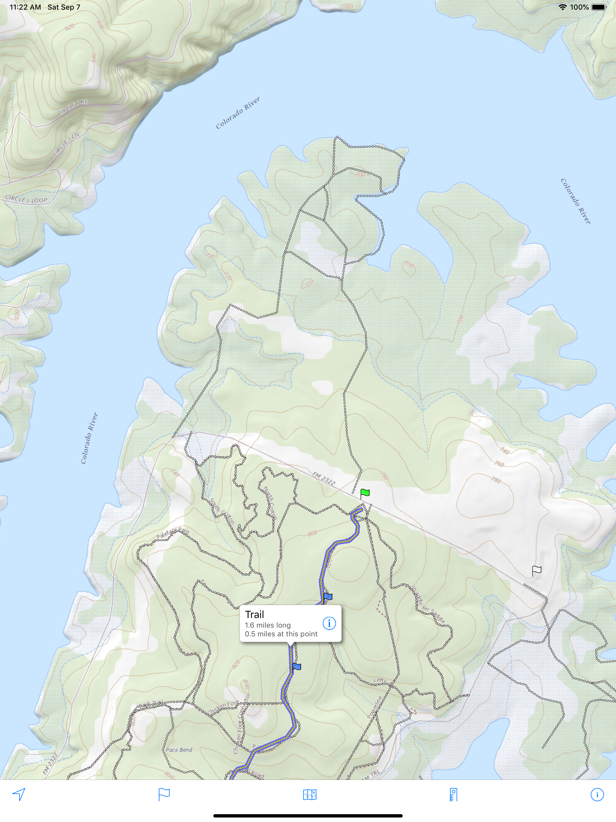
Download and view topographic maps covering the United States. Topographic maps are useful for recreational activities such as hiking, canoeing, camp...
Similar Apps