
Check the acquisition promise
Read the store headline, screenshots and description. What problem is the app promising to solve?
Study the storefront ↗
Seapilot · iOS
Explore the ad evidence, study the storefront, and build your next acquisition hypothesis.
01 / Creative research
Read the store headline, screenshots and description. What problem is the app promising to solve?
Study the storefront ↗Explore apps with direct store-link matches. Compare their hooks and formats without assuming the same approach works here.
Browse observed advertisers ↗Store rankings and revenue estimates describe market context. They do not establish ad spend, conversions or ROAS.
Review the market context ↗02 / Storefront & product
Study the product story and store experience behind the acquisition funnel.


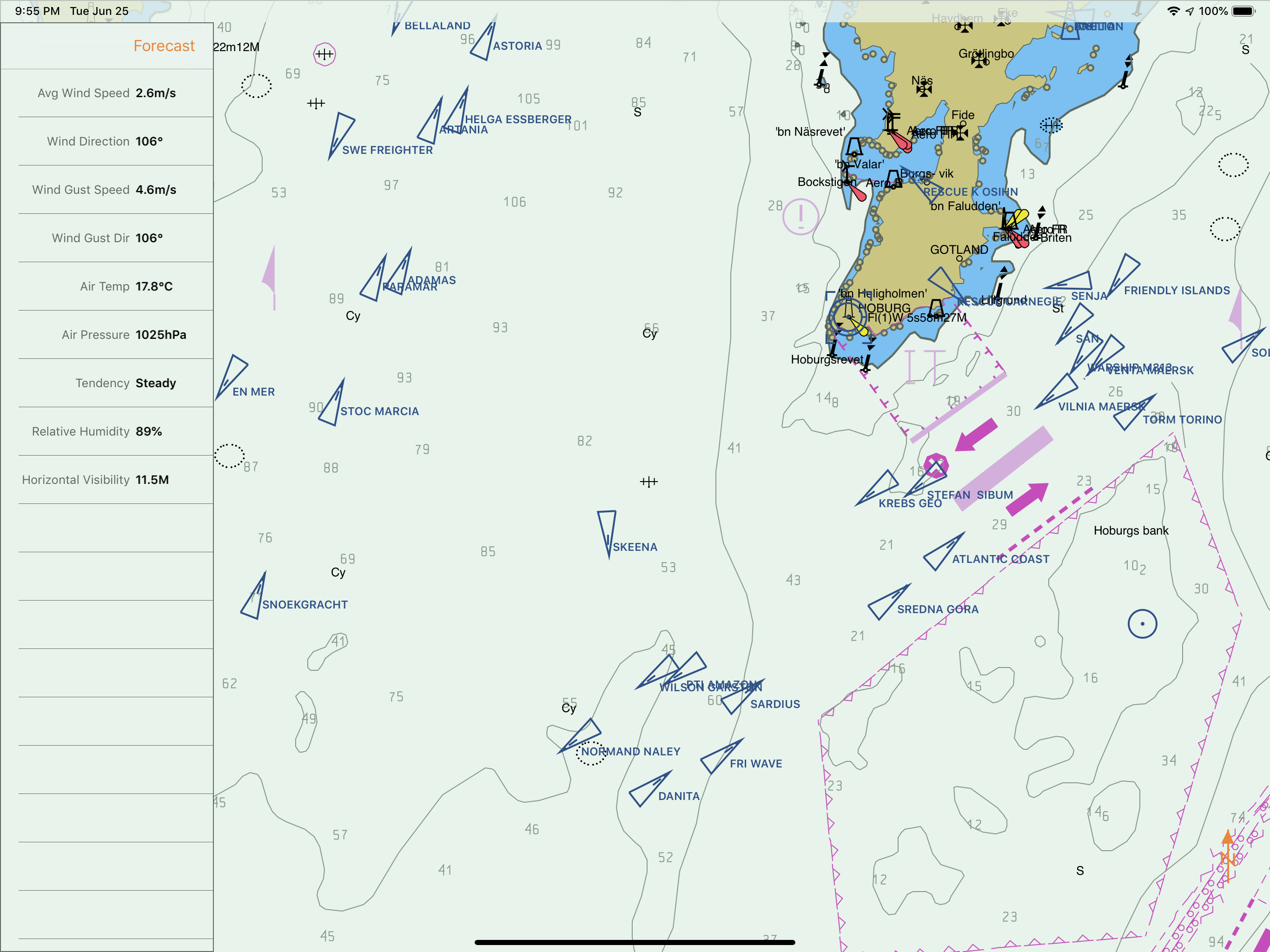

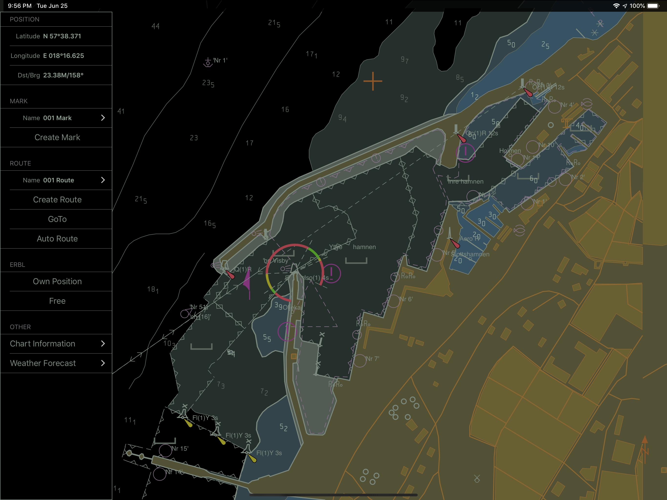
03 / Market context
Keep revenue, downloads and store rankings separate from advertising performance.
I’ve been following SeaPilot from their beginnings and their connection to Raymarine my primary chart plotters and VHF, I gave it a try. The coastal charts around Florida are enough to get around on, the AIS responds quickly. Each update improves it even more. Diehard fan and hope to continue to see more growth and integration in the app. Awesome stuff thus far, looking forward to even more.
Have used Sea Pilot for a year now, ever since Garmin stopped supporting their iPhone plotter. Tried most of the other apps, and paid for several only to find that they were not adequate. Sea Pilot is very good. Charts are accurate and seamless. Very easy to plot a course and edit as needed easily. Thanks for a great product that was desperately needed.
the fact that Lake Okeechobee is missing from the Florida map, is a bit disturbing
Professional marine navigation used to require an expensive GPS plotter. Now, same technology used in merchant shipping is available for the iPad and...
| Name | Price | Type |
|---|---|---|
| US East | $0.00 | One-time |
| US West | $0.00 | One-time |
| Swedish charts with automatic updates (Annual) | $8.99 | Yearly |
| US-Great Lakes. One year subscription. | $11.99 | One-time |
| West Canadian (Annual) | $14.49 | Yearly |
| East Canadian charts (Annual) | $14.49 | Yearly |
| Spanish charts with automatic updates (Annual) | $17.49 | Yearly |
| Irish charts (Annual) | $19.49 | Yearly |
| Greek charts with automatic updates (Annual) | $34.99 | Yearly |
| Premium (Annual) | $39.99 | Yearly |


