Check the acquisition promise
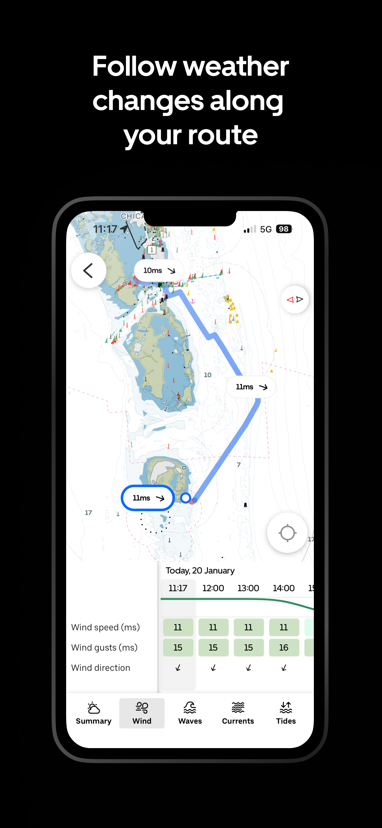
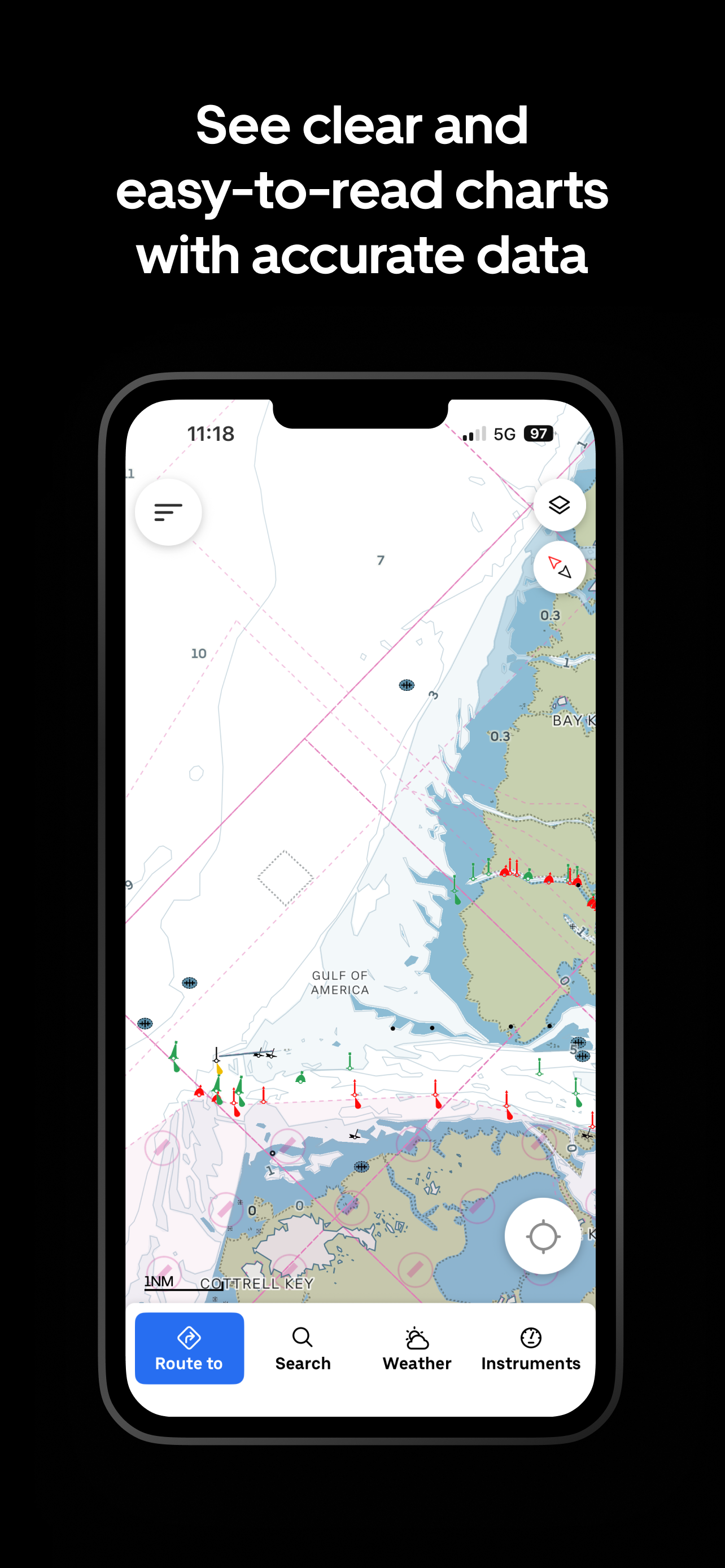
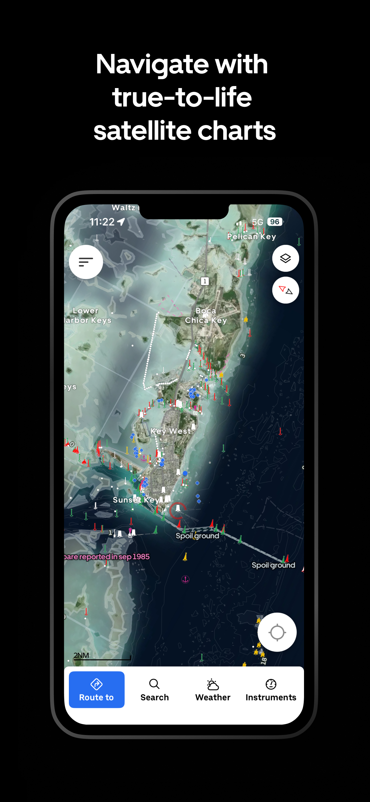
Read the store headline, screenshots and description. What problem is the app promising to solve?
Study the storefront ↗
Orca Technologies AS · iOS
Explore the ad evidence, study the storefront, and build your next acquisition hypothesis.
01 / Creative research
Read the store headline, screenshots and description. What problem is the app promising to solve?
Study the storefront ↗Explore apps with direct store-link matches. Compare their hooks and formats without assuming the same approach works here.
Browse observed advertisers ↗Store rankings and revenue estimates describe market context. They do not establish ad spend, conversions or ROAS.
Review the market context ↗02 / Storefront & product
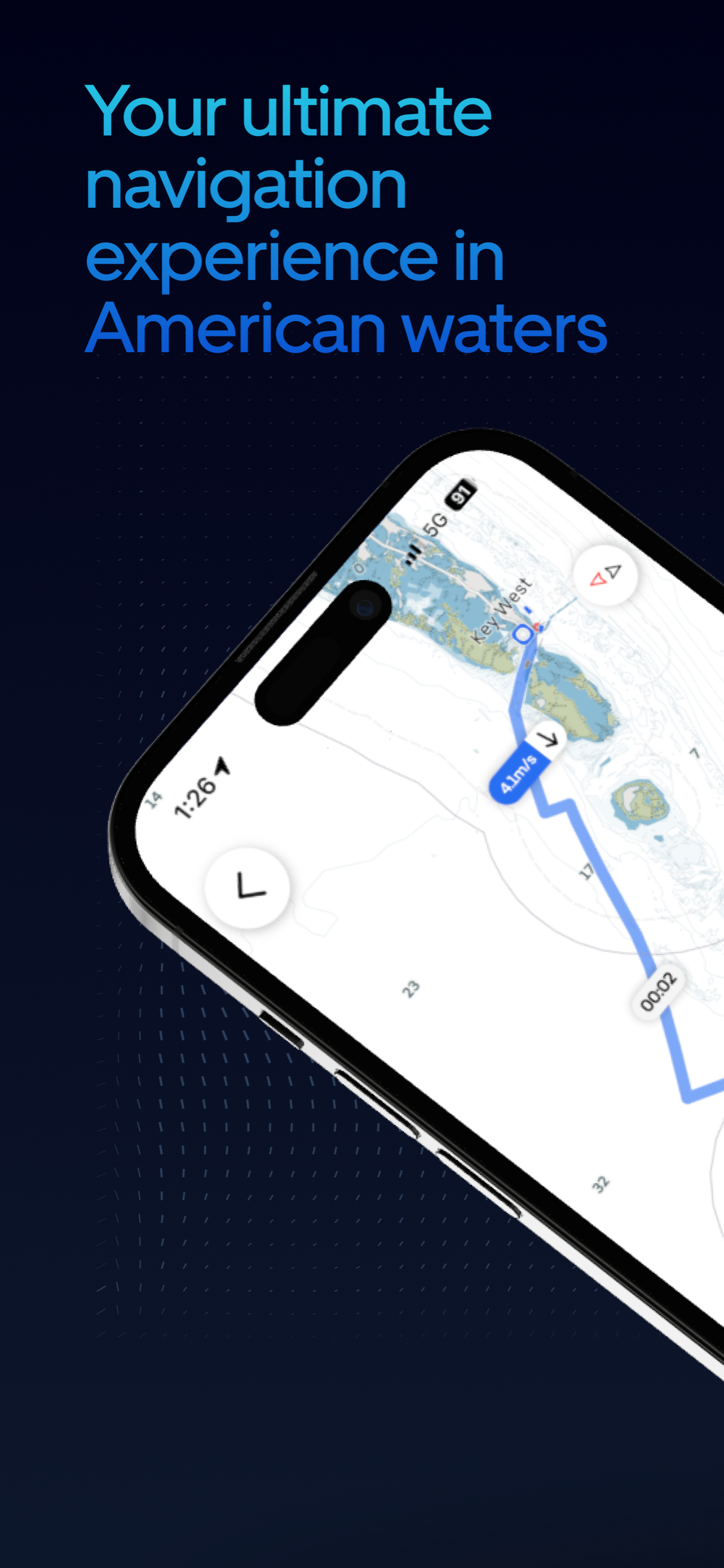
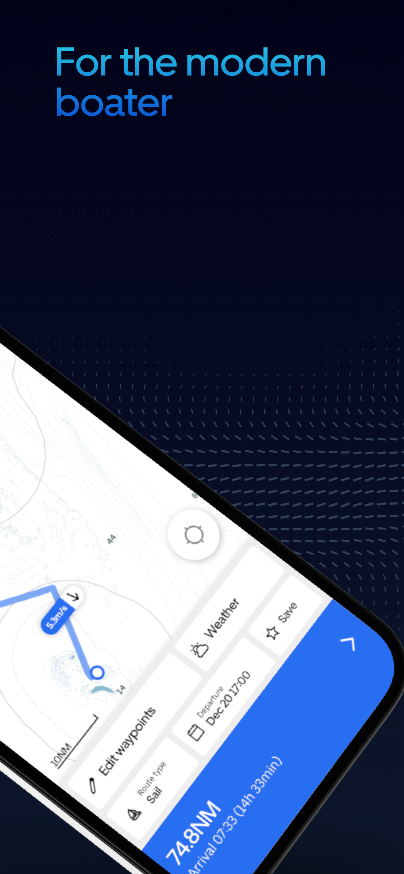
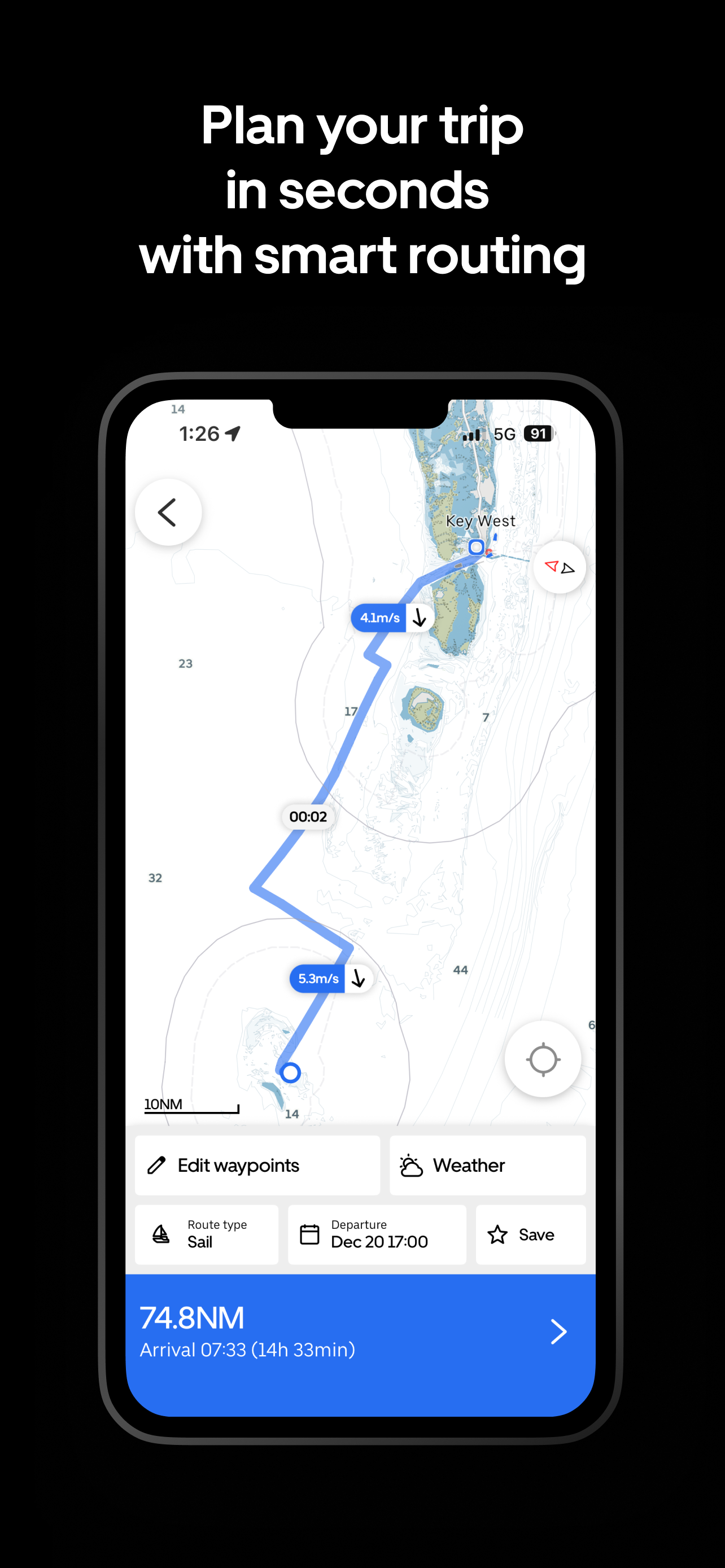
Study the product story and store experience behind the acquisition funnel.


03 / Market context
Keep revenue, downloads and store rankings separate from advertising performance.
Used Orca on a 47’ sailboat during a round Vancouver island race. Worked amazingly well. While we didn’t always follow its predicted line for sailing, it always makes the eta within 20 minutes. Very impressed. Chart coverage is great in the PNW. Auto route woes great too.
I have been using orca for a couple of months and it is definitely a great solution for upgrading your boat tech without breaking the bank. It works well with Raymarine, Garmin and B&G equipment. The mapping is highly detailed and it’s easy to setup. On the negative side the customer is a little slow to resolve issues.
Orca is just not ready for prime time. I'm using the app alongside Navionics for over a year now and was hoping to replace the nav on my boat with Orca however: The auto routing is not working properly. The latest bug is when I plan a route from my home port Orca is picking a start point in a river about 5 miles away that on top of everything has low bridges. Even after moving my start outside the marina, it doesn’t change. Also, I was trying to route to an anchorage about 10 Miles away and Orca tells me the route is too long. Charts from the Bahamas are only usable if you use the satellite overlay to see where the shoreline is. If you don't you will see random roads in the ocean and no shoreline. In some parts of the Long Island Sound I was trying to route to an anchorage, but Orca cut the route short at some random point about 3 miles from where I wanted to go. All in all, I like the look and feel of the app, it's just not there yet as my primary navigation system. I'll probably continue to play with it and hope they get their act together. P.S. As mentioned all my experiences are US East Coast and Bahamas. The app might work better in other parts of the world.
Access accurate marine charts, intelligent routing, live AIS, and weather forecasts with Orca. Trusted by hundreds of thousands of sailors and powerbo...
| Name | Price | Type |
|---|---|---|
| Orca Plus (Annual) | $44.99 | Yearly |
| Orca Smart Navigation (Annual) | $89.99 | Yearly |
| Orca Subscription (Annual) | $129.00 | Yearly |
| Orca Smart Navigation (Annual) | $159.99 | Yearly |