
Check the acquisition promise
Read the store headline, screenshots and description. What problem is the app promising to solve?
Study the storefront ↗
Anton Wenemoser · iOS
Explore the ad evidence, study the storefront, and build your next acquisition hypothesis.
01 / Creative research
Read the store headline, screenshots and description. What problem is the app promising to solve?
Study the storefront ↗Explore apps with direct store-link matches. Compare their hooks and formats without assuming the same approach works here.
Browse observed advertisers ↗Store rankings and revenue estimates describe market context. They do not establish ad spend, conversions or ROAS.
Review the market context ↗02 / Storefront & product
Study the product story and store experience behind the acquisition funnel.

03 / Market context
Keep revenue, downloads and store rankings separate from advertising performance.
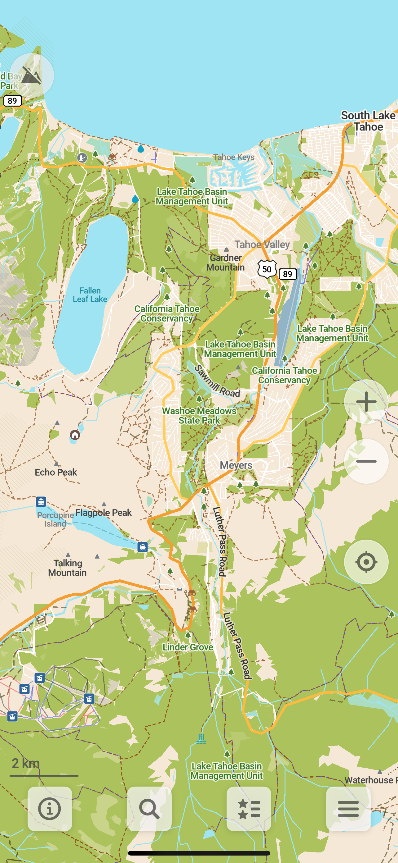
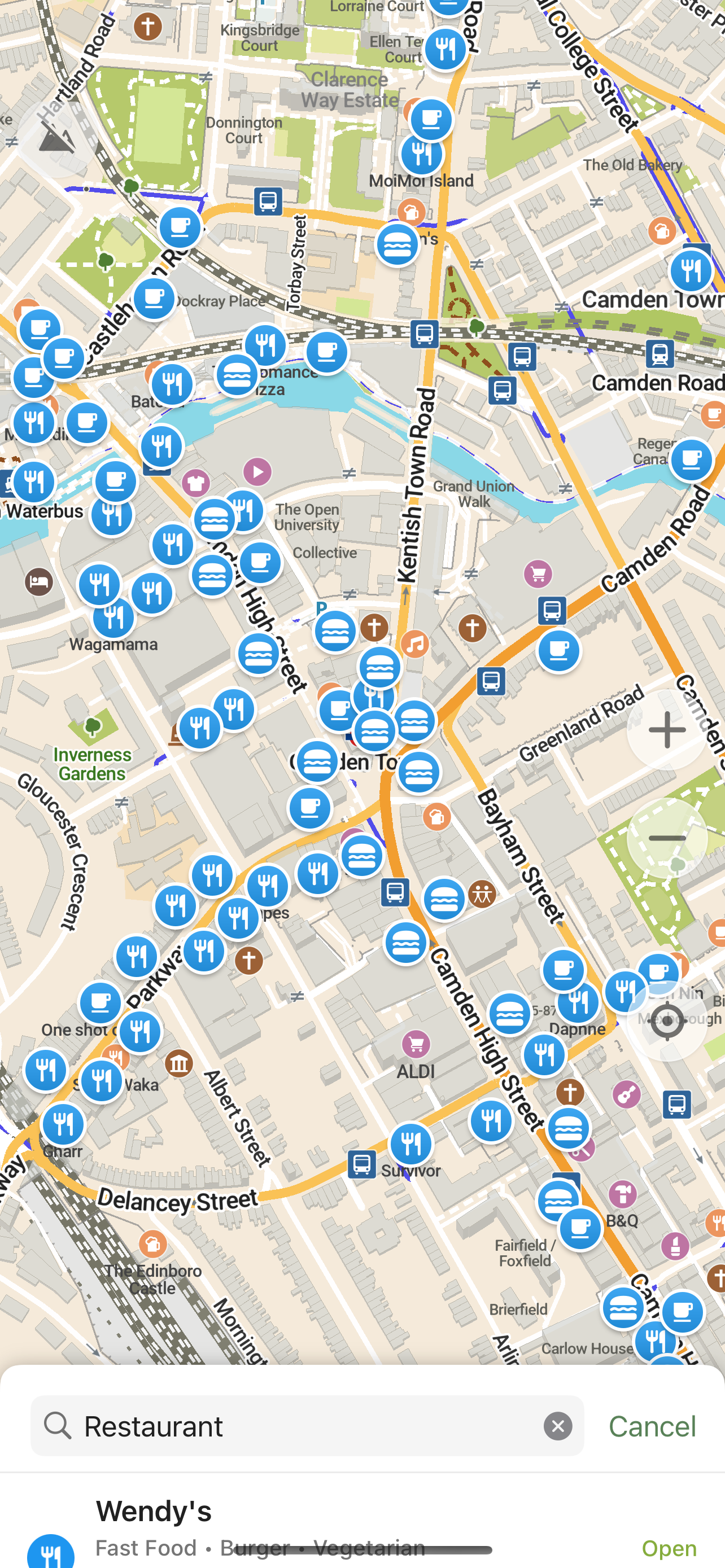
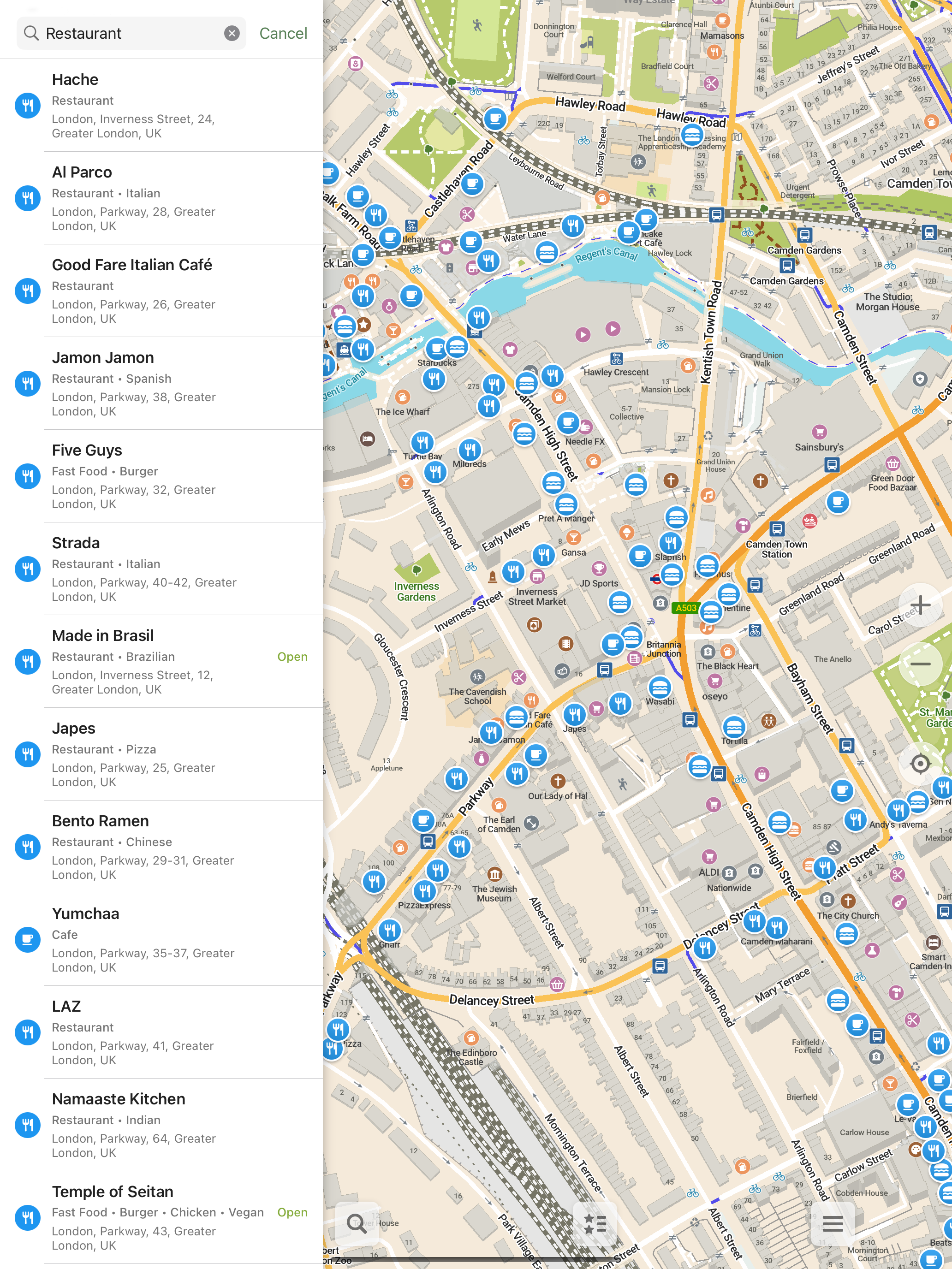
As someone who uses offline maps most of the time, this is a pretty good alternative to commercial map apps. I like its feature set, but I do wish it had less feature disparity (in things like lane guidance) and there are some occasional glitches here and there, as well as some mainstream features lacking. But the devs (who definitely have a better structure than Organic Maps) are working hard on them, and I’ll update this review when those features arrive.
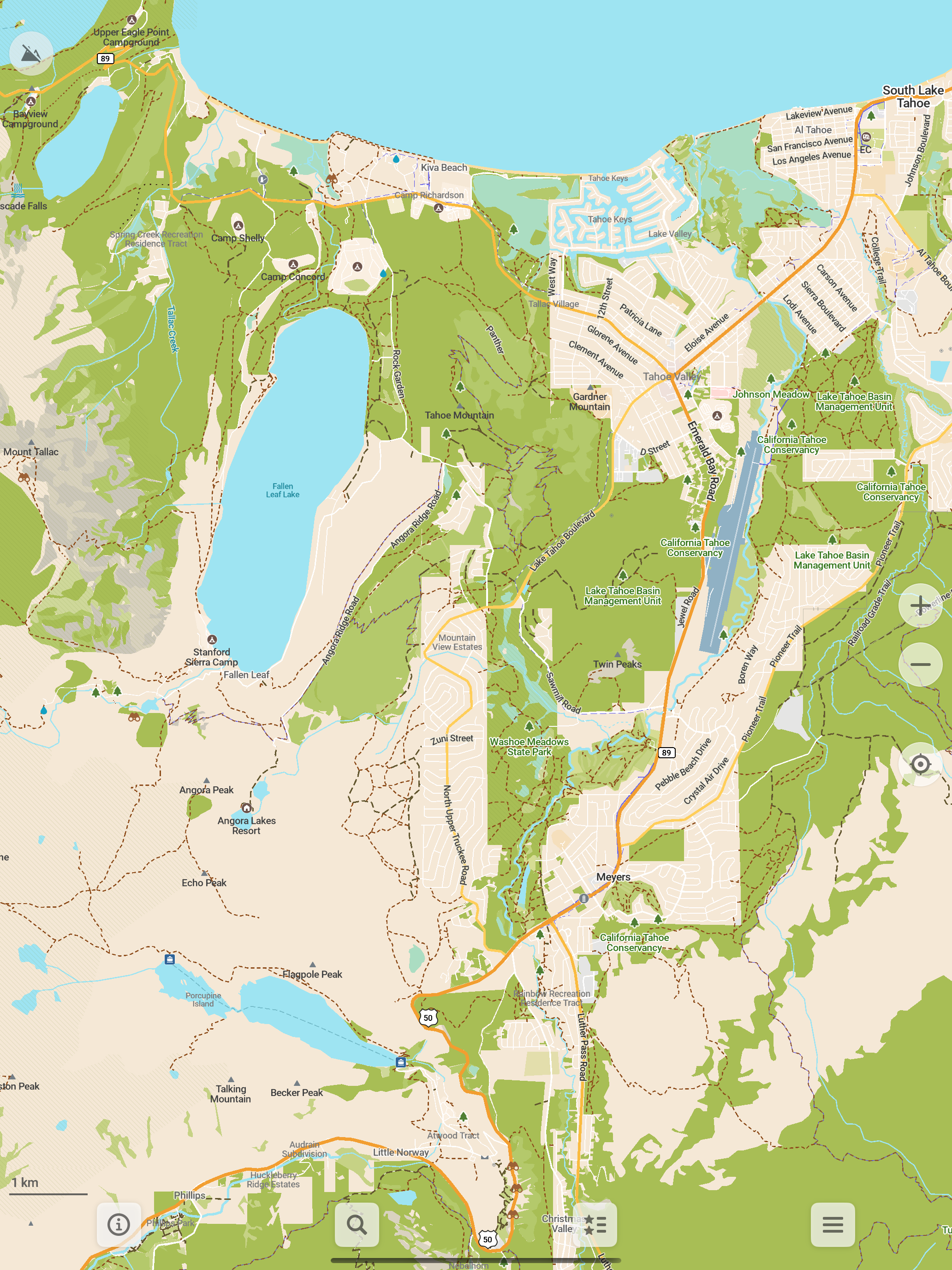
I use and recommend this app to everyone I meet when out hiking in the woods and mountains. The ability of it to download maps and display trails and contours are extremely valuable when navigating unfamiliar trails. I would love for it to have more hiking-related features like the ability to read waypoints from GPX files and compute distances to easy waypoint while navigating and the ability to reverse the route akin to Garmin’s Up-Ahead and Trackback features.
I’m a stickler for privacy, so I was thrilled when I saw this reviewed by ZDNet. It’s great to see such richly detailed maps with an app where I really am the customer and not the product. I am very impressed with the detail Comaps provides with trails as well. Better than some trail map apps I have. One request: an option to show elevations in feet. I’ve had it map multi-state driving directions and it is spot on. Very nice app.
A community-led free & open source maps app based on OpenStreetMap data and reinforced with commitment to transparency, privacy and being not-for-prof...


