Check the acquisition promise
Read the store headline, screenshots and description. What problem is the app promising to solve?
Study the storefront ↗
Galarina · iOS
Explore the ad evidence, study the storefront, and build your next acquisition hypothesis.
01 / Creative research
Read the store headline, screenshots and description. What problem is the app promising to solve?
Study the storefront ↗Explore apps with direct store-link matches. Compare their hooks and formats without assuming the same approach works here.
Browse observed advertisers ↗Store rankings and revenue estimates describe market context. They do not establish ad spend, conversions or ROAS.
Review the market context ↗02 / Storefront & product
Study the product story and store experience behind the acquisition funnel.
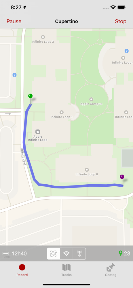

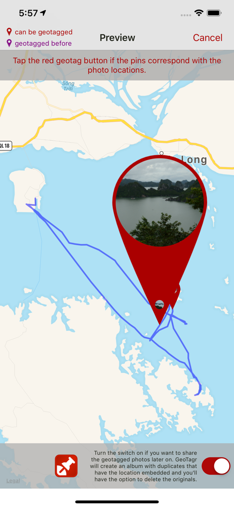
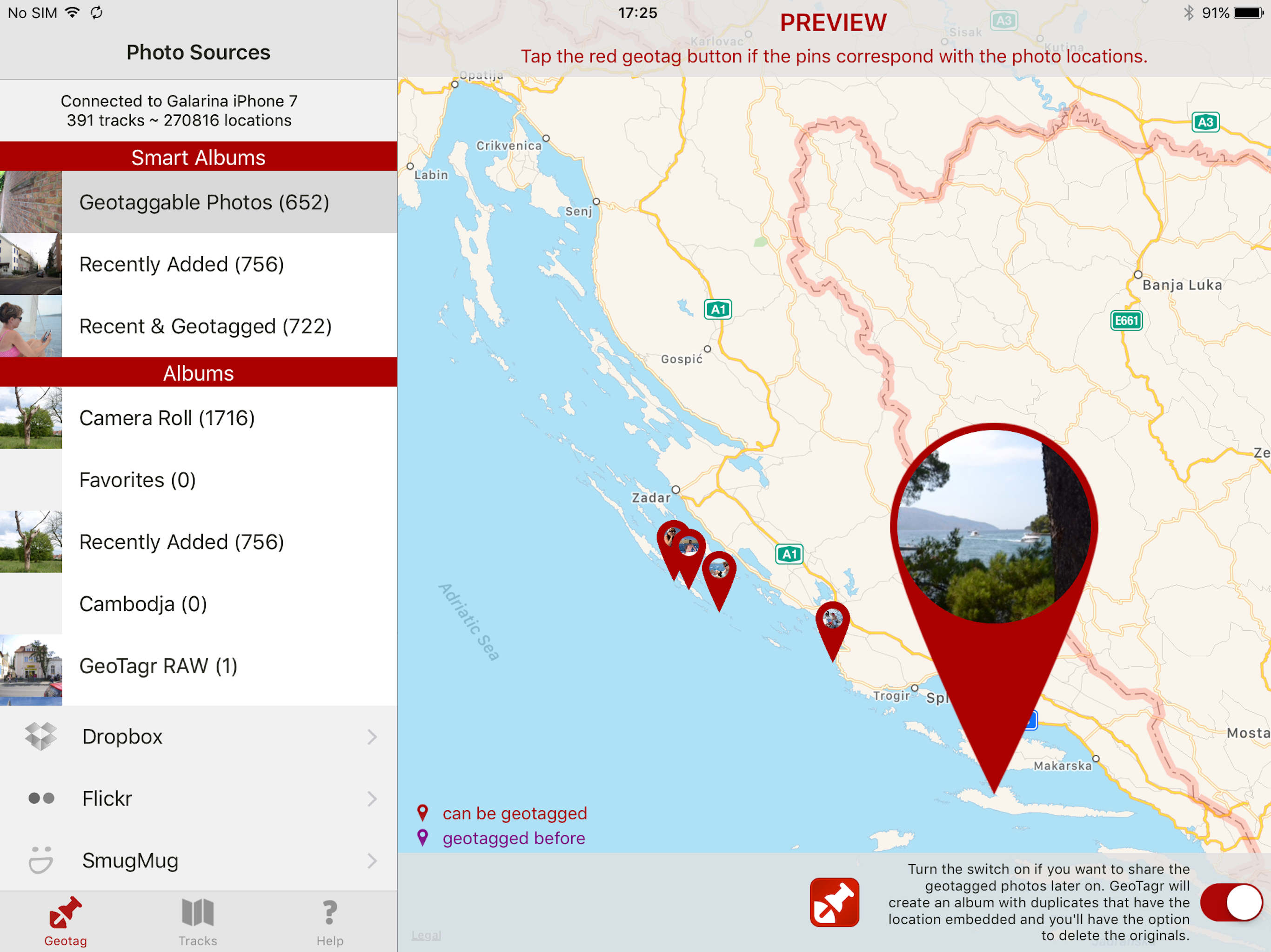

03 / Market context
Keep revenue, downloads and store rankings separate from advertising performance.
The app tagged my photos as having a zero meter accuracy when in fact they plotted about 200 meters off of the trail I was hiking. Zero in this case presumably means unknown, but give the impression of higher accuracy than the points were.
A great app that does exactly what it promises, and does it well. I’ve been using GeoTagr for years now, after hunting high and low for an app that could add my location to photos shot on my DSLR - which still frustratingly often come without GPS tagging built in. (Or in my case comes with a camera manufacturer’s app which never seems to keep its connection to the camera so is pretty useless). When I’m out and about, I keep the app running in the background and then use the app to tag my photos once I get home. It really is that simple, and means I can see exactly where I took the photo on the map view within Photos, while memories etc. are properly collated too. Recording your GPS location constantly means your battery can take a hit, but the app includes a battery time remaining feature, and I just carry a battery pack with me. Chris the developer is really great at replying to support queries too. If you’re looking for an app that records your location then tags your photos reliably and without hassle, you’ve found it!
UPDATE: After two years, I still love this app and use it regularly. I've recently begun using a second body on occasion, and the tags can be applied to images from both--another advantage over a dedicated DSLR GPS attachment! The developer is a really great guy, who responds quickly to bug reports and future requests. He also follows up to let you know when a version that fixes your bug has been released on the App Store. One thing I will add, I've stopped using the interval updates and now I always use continuous updates. With interval updates, I am more likely to get random points in my track that are off by 1/4 mile or so. I think this is a GPS problem and not the fault of the app because other apps that use the GPS behave similarly when tracking is first turned on. With continuous tracking, this is not an issue (although the GPS can sometimes make errors inside or near buildings or under trees). My original review follows: Awesome! A $5 app that replaces a $200 GPS unit for a DSLR! It takes about 2 minutes to tag a days worth of photos. I shoot RAW, so I love that it creates XML "sidecar" files with the location information and it doesn't modify the RAW files. Then when I import the photos into LightRoom, LightRoom automatically reads the locations and can plot them on its map. I've seen reviews that complain about the GPS performance, but that's an iPhone limitation and not the fault of the app. Anywhere the iPhone's GPS has difficulty (e.g. indoors), the app will too. Like all GPS apps, it uses a lot of battery. You can save battery by setting it to only update every 3, 5, or 10 minutes instead of continuously. I wish there was an interval between continuous and 3 minutes, like 1 minute, which I think would be better for walking.
Digital photo collections can grow rapidly. Remembering where you took all those photos can become a chore. Most cameras don't tag your photos automat...