
Check the acquisition promise
Read the store headline, screenshots and description. What problem is the app promising to solve?
Study the storefront ↗
Renevision · iOS
Explore the ad evidence, study the storefront, and build your next acquisition hypothesis.
01 / Creative research
Read the store headline, screenshots and description. What problem is the app promising to solve?
Study the storefront ↗Explore apps with direct store-link matches. Compare their hooks and formats without assuming the same approach works here.
Browse observed advertisers ↗Store rankings and revenue estimates describe market context. They do not establish ad spend, conversions or ROAS.
Review the market context ↗02 / Storefront & product
Study the product story and store experience behind the acquisition funnel.


03 / Market context
Keep revenue, downloads and store rankings separate from advertising performance.
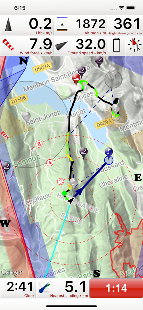
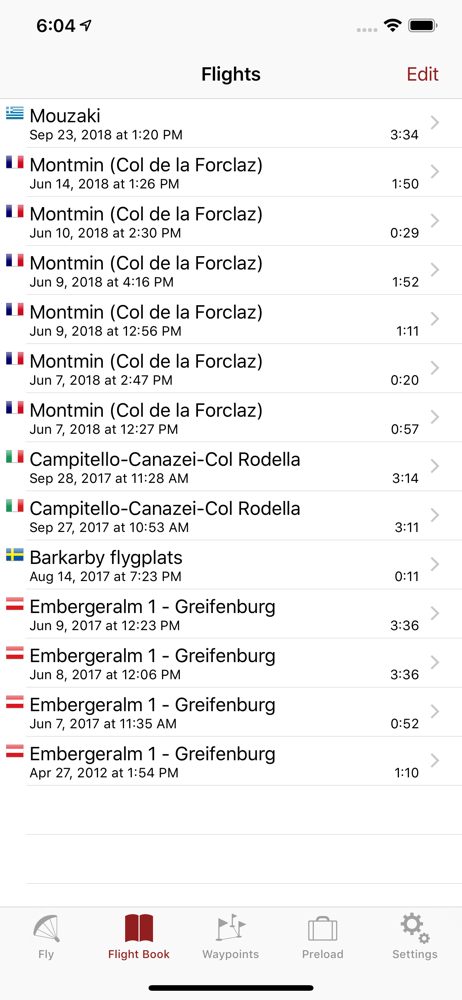
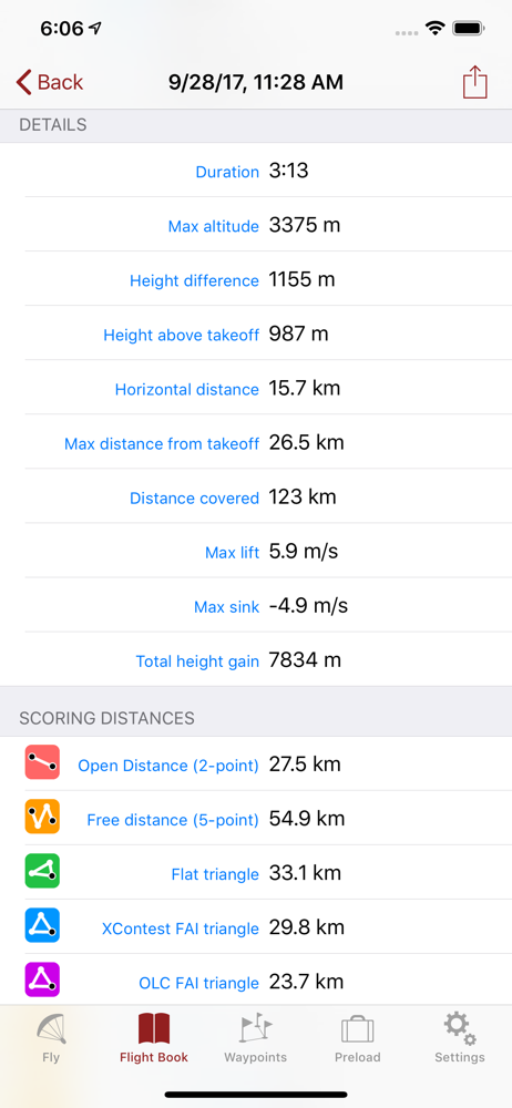
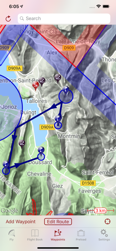
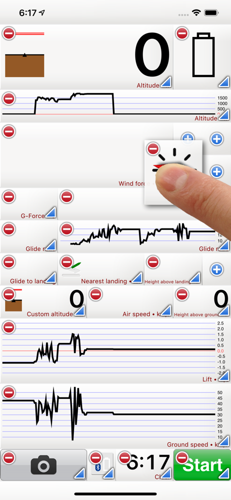
Shows a map, shows all the readouts of your flight like lift, speed, route, etc. It would be perfect if: 1. I could manually add flights to the log or it had a flight log function 2. I could attach notes to each flight to denote things like which one had bad winds, if I did well or not, or other local conditions I might want to put down. 3. The multi-trip feature wouldn’t consider driving back up to a hill top a trip
I use this app for paragliding, Bluetooth paired with my XC Tracer Mini II GPS (instead of internal iPhone sensors which aren’t as accurate), and it works splendidly! IMO, anyone who is expecting an app to turn their phone into a solid variometer is kidding themselves, and really not using this kind of app appropriately. Doing that is relying on internal phone sensors that simply aren’t meant to be used for a variometer. However, if one pairs their phone to a REAL variometer and uses this app as the display, it is GREAT! Customizable screens make personalized layout easy. Landscape layout means it fits on my flight deck nicely. Thermal display and auto-switching to thermalling display facilitate centering on the thermal core. The Telegram group chat for extra tips and help is super handy too. I really don’t have any complaints.
I like this app, but it needs a little improvement. Mainly it needs to use the built in pressure sensor of smartphones. The gps altitude is always displaying inaccurately. It needs to at least use the barometer to display height above ground and not gps. Or at the very least the ability to choose either gps or pressure altitude. Pressure altitude is way more reliable. That’s what drones and virtually all aviation uses. Because it does not utilize pressure altitude, I had to buy an altimeter watch that does. But id prefer to use only one device. Especially for data and flight telemetry. If altitude is displayed wrong, then the recorded telemetry is also wrong. Sometimes by several hundred feet. The last con is the map. Tap to zoom is not intuitive. It should use pinch to zoom.
Flyskyhy forms your flight instrument during flight and shows all information you need for that. You get the normal data like altitude, climb rate, gr...
| Name | Price | Type |
|---|---|---|
| Social (Annual) | $3.99 | Yearly |
| Thermal Maps (Annual) | $3.99 | Yearly |
| Map Download (Annual) | $6.49 | Yearly |
| Airspaces | $7.99 | One-time |
| XC-Package | $7.99 | One-time |
| Waypoints | $7.99 | One-time |


