Check the acquisition promise
Read the store headline, screenshots and description. What problem is the app promising to solve?
Study the storefront ↗
GrangerFX · iOS
Explore the ad evidence, study the storefront, and build your next acquisition hypothesis.
01 / Creative research
Read the store headline, screenshots and description. What problem is the app promising to solve?
Study the storefront ↗Explore apps with direct store-link matches. Compare their hooks and formats without assuming the same approach works here.
Browse observed advertisers ↗Store rankings and revenue estimates describe market context. They do not establish ad spend, conversions or ROAS.
Review the market context ↗02 / Storefront & product
Study the product story and store experience behind the acquisition funnel.


03 / Market context
Keep revenue, downloads and store rankings separate from advertising performance.
A topo app you can use offline? What more could an outdoorsman want. I only give it 4/5 stars just because no one believes that 5/5 star reviews are authentic. I love this app and use it all the time in the back country where there’s no cell or wifi. Keep up the great work!
I’ve used this for years to navigate the mountains and canyons of the Western US. It is the most reliable, complete OFFLINE map I’ve found. It’s imaging and shading are very useful for getting a sense of the terrain, vegetation, and even where sunlight is hitting. The limitations are that the dirt road and trail accuracy is decent, but not great. Eg here in Idaho there are old roads that traverse private property or are defunct, still shown here. However, this isn’t alone in that problem, most other maps have the same issue. The good news is that this also includes some roads and trails that the other major maps are missing. The user interface is a bit unusual at first, but once used to it, it is powerful. I always keep a copy of this on my devices, you never know when the zombie apocalypse will knock out the internet (or maybe you just go out of cell range).
This app is easily the best I've used of its type. I use it routinely when backcountry skiing and hiking in the western United States. It is my first choice when planning tours and making adjustments on route. The maps are excellent, clear and well detailed and the UI is intuitive. No need to download maps is great. I discovered it also includes Hawaii which was an unexpected pleasure. Everything you want, nothing you don't. 5/5
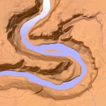
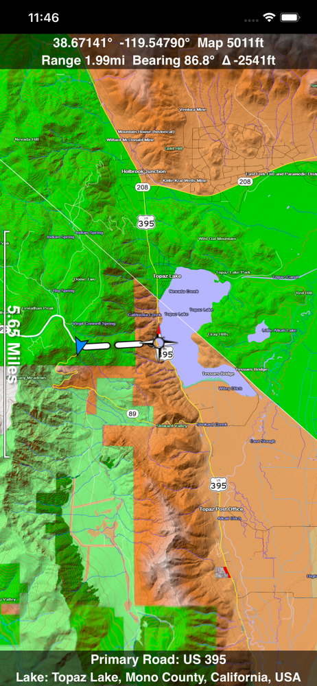
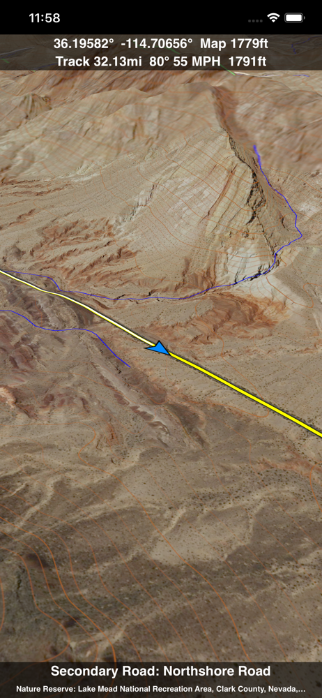
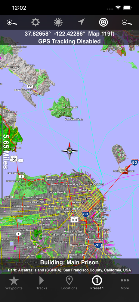
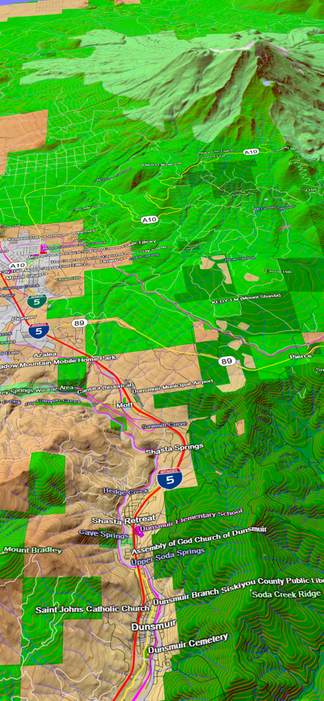
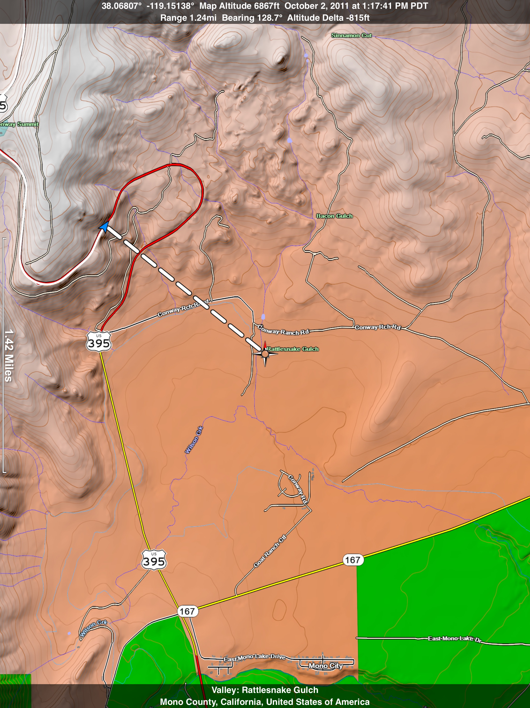
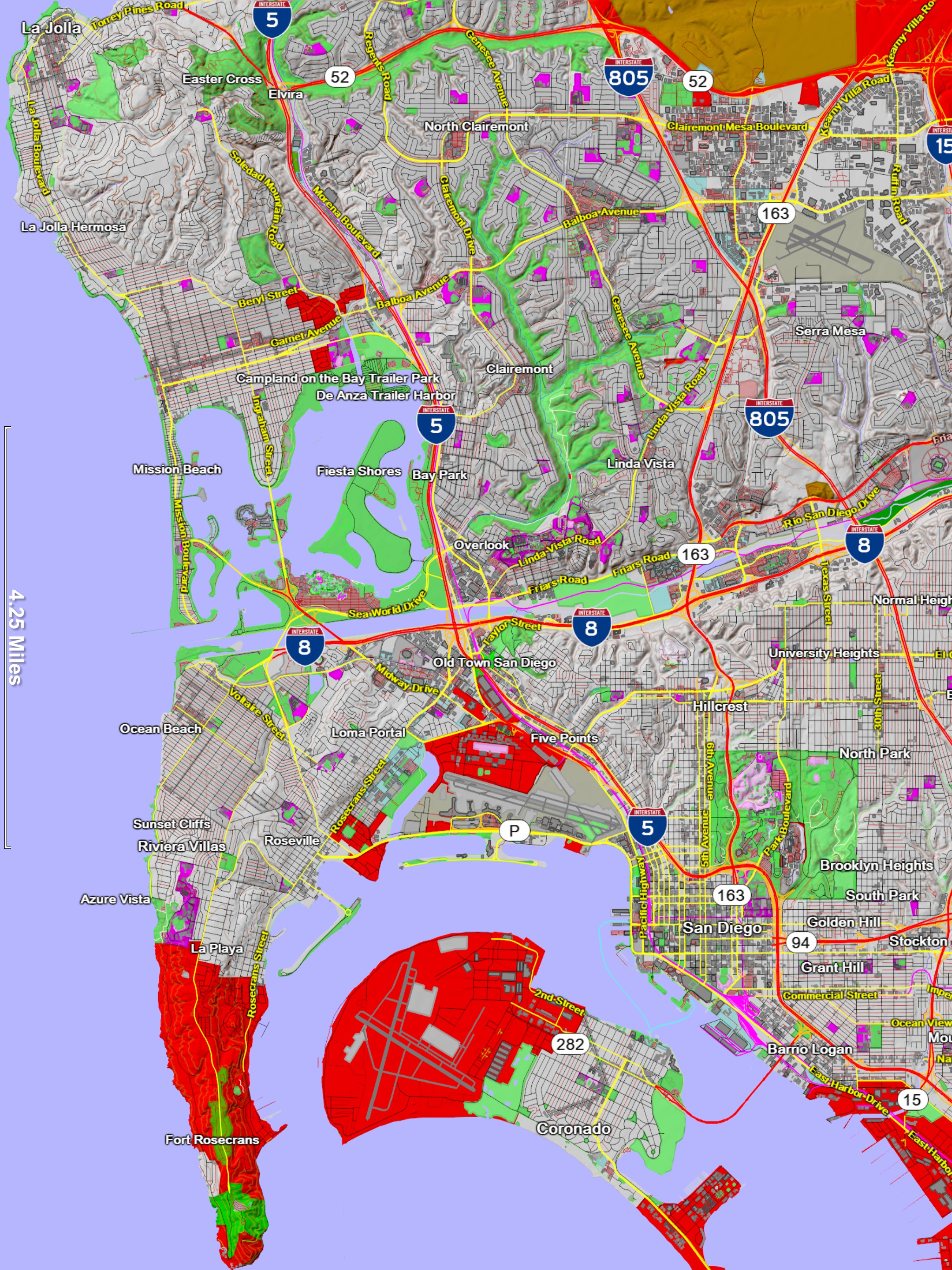
A 3D topo map of the Western USA and Hawaii. The vector map data is contained within the app and can be used without an internet connection. Use it in...