Check the acquisition promise
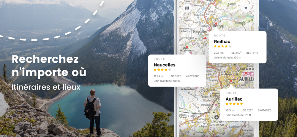
Read the store headline, screenshots and description. What problem is the app promising to solve?
Study the storefront ↗
RoadTour LLC · iOS
Explore the ad evidence, study the storefront, and build your next acquisition hypothesis.
01 / Creative research
Read the store headline, screenshots and description. What problem is the app promising to solve?
Study the storefront ↗Explore apps with direct store-link matches. Compare their hooks and formats without assuming the same approach works here.
Browse observed advertisers ↗Store rankings and revenue estimates describe market context. They do not establish ad spend, conversions or ROAS.
Review the market context ↗02 / Storefront & product
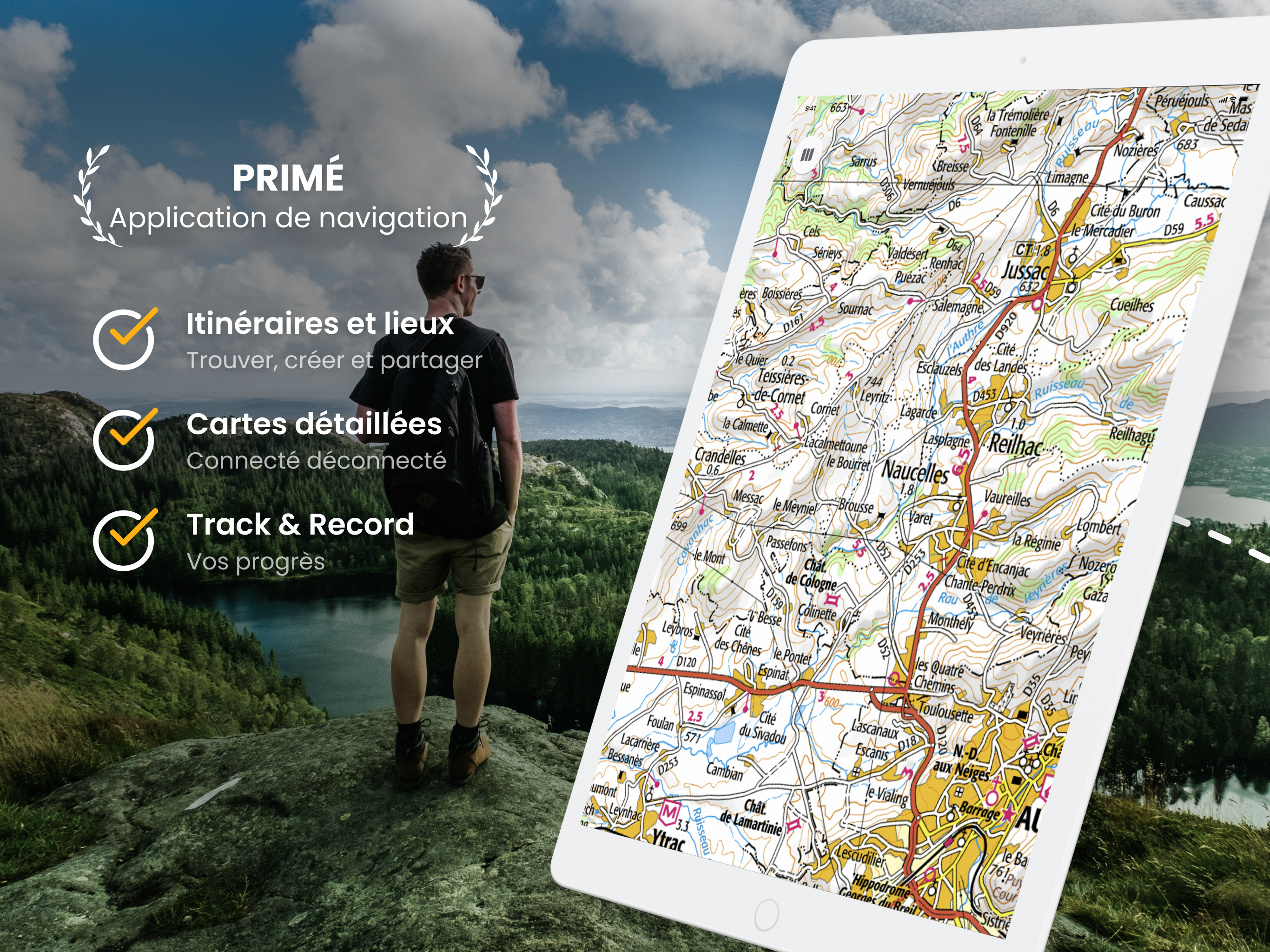
Study the product story and store experience behind the acquisition funnel.

03 / Market context
Keep revenue, downloads and store rankings separate from advertising performance.
Lots of incredibly detailed maps, but the resolution is so low that, when you zoom in, the maps are useless. No help finding hiking trails or circuits in my area, which is an ecotourism region with plenty of trails. The subscription has no trial period. For hiking information, look elsewhere.
Very good app with lots of bike routes on IGN’s base maps. But it isn’t comprehensive by any stretch, missing many signed and designated routes. Plus, the view is set bizarrely: it’s impossible to read labels, which shrink as you zoom in. So you can’t tell what town you might be heading for, nor which road you are traveling on. This seems like it would be a preference setting in the app, but it seems impossible to change.
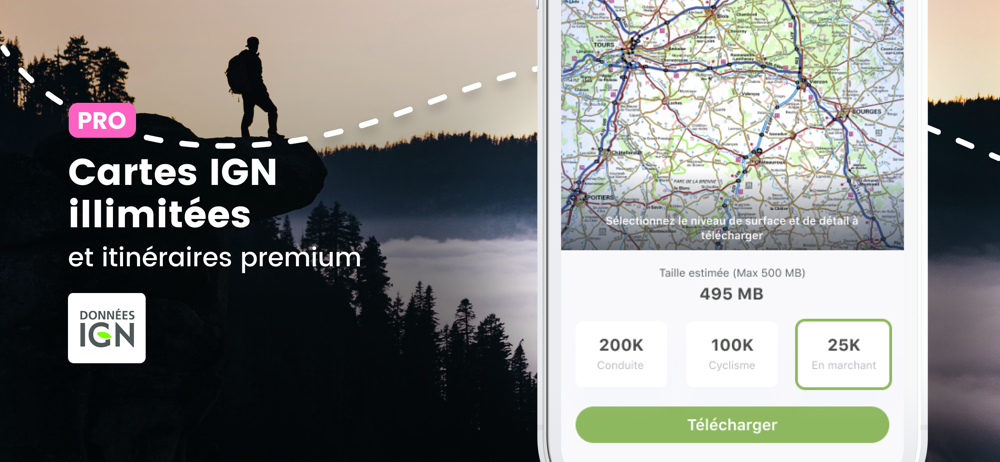
I downloaded app but can not connect to the map store. I get a cannot connect to the outdoors gps server. Update: By restarting my iPad 3 it takes me to the home page and I can connect and download maps So I was able to download a specific offline map yesterday when I got connected. I needed to email support to find where the map is stored and they responded promptly. A nice feature is you can chose from 3 sizes to download exactly the area you are interested in. Once downloaded, you can access offline while traveling. Now you can have offline maps for non urban areas.
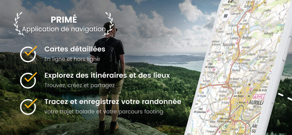
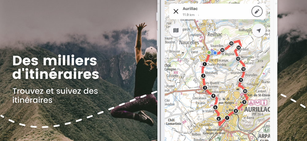
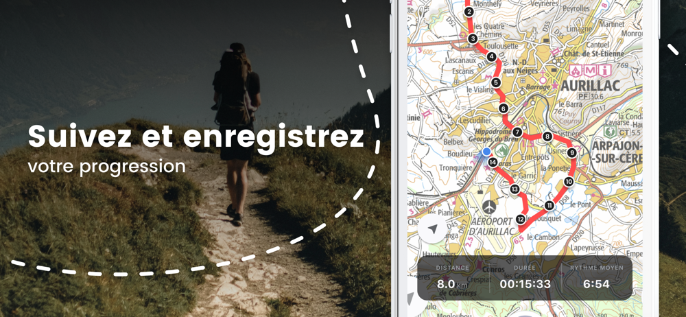
** France’s No1 mapping and GPS app – Ideal for following hiking and biking routes in total confidence – Official Topo Maps (IGN) can be downloaded so...
| Name | Price | Type |
|---|---|---|
| France Place Finder | $0.99 | One-time |
| IGN Maps PRO (Annual) | $19.99 | Yearly |
| 12 Month Subscription to Online maps for France | $20.99 | One-time |
| IGN Maps PRO (Annual) | $26.99 | Yearly |
| IGN Maps PRO (Annual) | $39.99 | Yearly |