Check the acquisition promise
Read the store headline, screenshots and description. What problem is the app promising to solve?
Study the storefront ↗
Lexul · iOS
Explore the ad evidence, study the storefront, and build your next acquisition hypothesis.
01 / Creative research
Read the store headline, screenshots and description. What problem is the app promising to solve?
Study the storefront ↗Explore apps with direct store-link matches. Compare their hooks and formats without assuming the same approach works here.
Browse observed advertisers ↗Store rankings and revenue estimates describe market context. They do not establish ad spend, conversions or ROAS.
Review the market context ↗02 / Storefront & product
Study the product story and store experience behind the acquisition funnel.
03 / Market context
Keep revenue, downloads and store rankings separate from advertising performance.
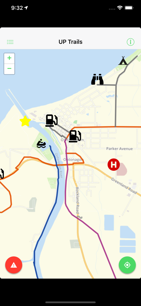
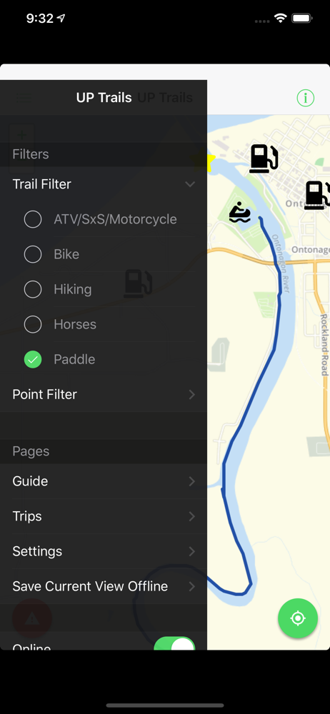
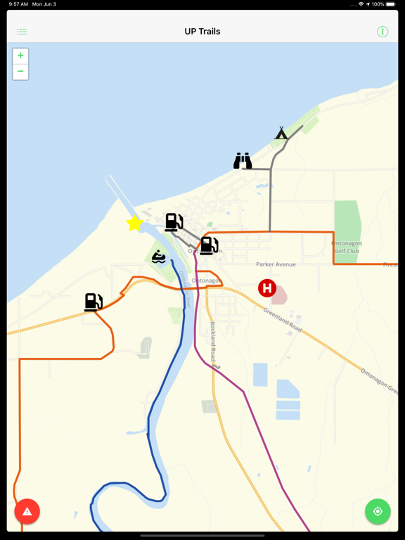
I got this app specifically for the map of the U.P incase we’re in a spot where we lose service. Even without data you can still access the map and zoom in to the roads you need. The mapping of all the different types of trails is a really nice feature, they all show up still even without service or wifi. The app isn’t perfect but it does what I wanted it to
I will caveat this review as I suspect this was a ‘home grown low budget’ app and can understand that as many ORV associations get little to zero funding to help support their efforts of making nice trail systems and updating maps. That being said I really hope they can work on this one as it is clear this is not ready for end users. The app is not responsive to user inputs, lags and at times freezes up. It also needs to be optimized for newer generations device screens to fill the display vs. being cropped. The map displays limited data vs. what you would want when using it...cities names not on displays, route names / Forest road names missing in one instance near Bruce Crossing. Overall as I assume this was a club level attempt at an app and I applaud them for trying and truly hope they can invest more time to optimize it for current end users.
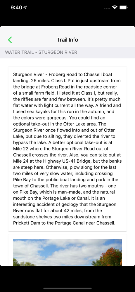
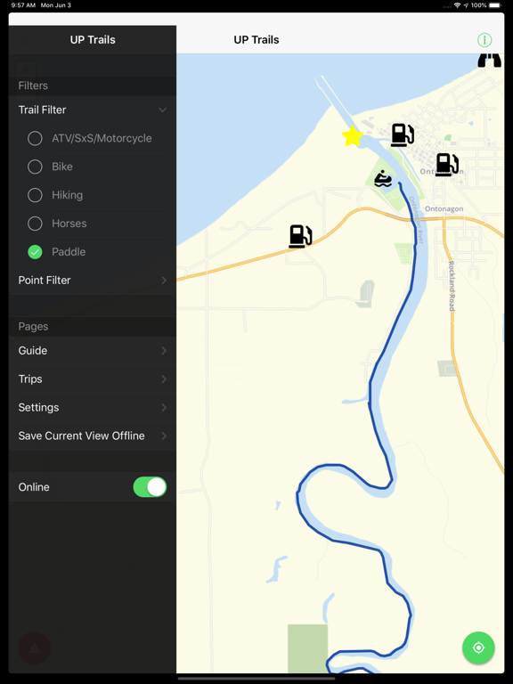
Downloaded and opened. Waited for all the maps to load, and waited. Then I was greeted by an overview of Ontonogan. Nice place but not near me. So I tried to move the map. Single finger slide didn’t work. Two fingers make the screen fight between pinching and moving. Two minutes later still centered on ontonogan while it was zoomed out partially in the lake. Gave up trying to move the map and checked what the information was like. It seems like good information but unless the Navigation improves it remains too frustrating to use.
Michigan Trails and Recreation Alliance of Land and the Environment, commonly known as MI-TRALE, is an alliance of multiple trail and outdoor recreati...