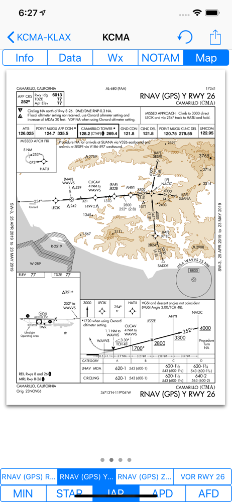
App Profile: Airmate

Android / Games / Puzzles
Airmate
Installs:
Rating:
0.00
Total Reviews:
0
Top Countries:
US, FR, PH
< $5k
/mo
< 5k
/mo
Reviews: What People Think About Airmate
Popsflys
Rating: 4/5
I’m a Student Pilot with low hours and have played with AirMate on a couple of flights. Recently, I flew a solo 135 mile cross country with it and the Dual 160 GPS for the Bluetooth. I tried to use it only as a backup, but it was hard to do. Pilotage and Dead Reckoning seems to want to take the backseat, when you are able to see exactly where you are and if on or off course. Still learning how to use it the easiest and best way, but I like it and for sure, the free price is very attractive.
Kaz (Hamburger) Miller
Rating: 5/5
I was using Garmin Pilot before this but I’m so impressed with AirMate that I will probably stick with this for a while. I will admit that the map update process is more cumbersome than Garmin but it’s really not bad. My old iPad can barely run SynthEye from Garmin but works perfectly fine with AirMates version. The GPS navigation is just as good as any other system for how I use it and I’ve even been able to use this app in MS Flight Simulator. Very well done and I hope the developers are proud of the excellent product they’ve made. And made for free!
B R Frost
Rating: 5/5
I typically use this to plan routes in Microsoft Flight Simulator. However, that does not stop its superior accuracy and ability to achieve what i want it to. Highly recommend this app if you do not wish to pay for a monthly subscription to other applications of the same quality(i.e. ForeFlight, Garmin Pilot, etc. Overall a very good free flight planner that is a must for any aviation enthusiast, simulator pilot or professional.
About Airmate
Airmate is a free and easy to use flight planning and weather app for pilots, improving situational awareness and providing instant access to airport data and aviation maps, up to date weather and NOTAMs, traffic around.

IFR and VFR airport plates are freely available in US (FAA charts), Europe, and more than 200 other countries. Many of them are georeferenced and could be overlaid on the aviation chart. A powerful Plate Manager allows to download in advance all airport plates in a country, they could be easily printed and viewed.

During the flight, the moving map will display the aircraft location along the route, show airports and aeronautical data details and traffic around, warn you if your planned route is crossing restricted areas. A profile view is available to display terrain elevation, crossed areas and forecasted weather across the route. Airmate can also display a backup aircraft attitude indicator and flight parameters in an EFIS-like view. In the whole world, Synthetic Vision displaying in the EFIS-like view the ups and downs of rolling terrain ahead is available. In selected countries, Airmate can display scenery if this option is purchased.

Airmate includes a worldwide aeronautical database updated free of charge with airports, navigation beacons, waypoints, airways, obstacles, regulated and restricted areas. Topographic maps and elevation data for most countries may be downloaded free of charge, as well as additional aviation map overlays such US Sectionals. A procedure database provide details of departure (SID), arrival (STAR) and instrument approaches in the USA, and you could add those procedures to your planned flight route (the procedure database includes all US airports, we are workding to add airports in other countries). Once loaded, the procedure path is displayed on the aeronautical map, including curved paths and racetracks.

When coupled with a supported external ADS-B received, Airmate will display nearby traffic on the moving map, and receive FIS-B weather and NOTAM during the flight. To improve safety, Airmate can display neighbouring traffic received over mobile network. Such traffic include commercial airlines and transponder-equiped aircrafts, FLARM gliders, aircrafts whose pilots are using Airmate and other users using other safety broadcasting equipment.

Airmate is able to transmit the flight plan data to supported avionics such Dynon SkyView.

Thanks to the Auto Route feature, you could search and select the best route for your flight, and then file your VFR or IFR flight plan. Once filed, your flight plan could easily be managed, delayed or cancelled.

Airmate will also record your flights and allow to replay them later or export the flight path in gpx format, you could take pictures from the app during flights. Pilot log entries are automatically computed from flown flights.

A Satellite map display mode in flight planning or replay mode allows to familiarize with significant landmarks.

Airmate will save planned and flown flights, user waypoints and user aircrafts in the cloud and sync them between your devices and Airmate web flight planning.

Airmate brings numerous social features to the community. Pilots may leave ratings, tips and comments to share their experience with fellow pilots, and report fuel prices and landing fees. They could find friends, instructors, flight schools, aviation events and aircraft to rent near their home airport or any visited airport.

Airmate may be connected to most flight simulators to keep flying skills sharp, and will manage also AHRS and simulated traffic data transmitted by the flight simulator. Planned flights and personal waypoints may be imported and exported.

Continued use of GPS running in the background can dramatically decrease battery life.
Terms of Use: https://www.apple.com/legal/internet-services/itunes/dev/stdeula/
File size: 204086272
Launched countries: FRLU
Minimum OS version: 12.0
Release Date: 1470520902000
Published by Myriel Aviation SA
Website url: https://www.airmate.aero
Publisher country:
Copyright © 2025. Made with ♥ in London by AdScan.ai