
Check the acquisition promise
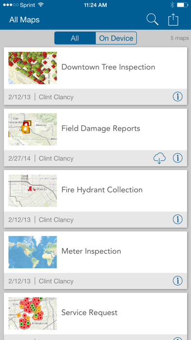
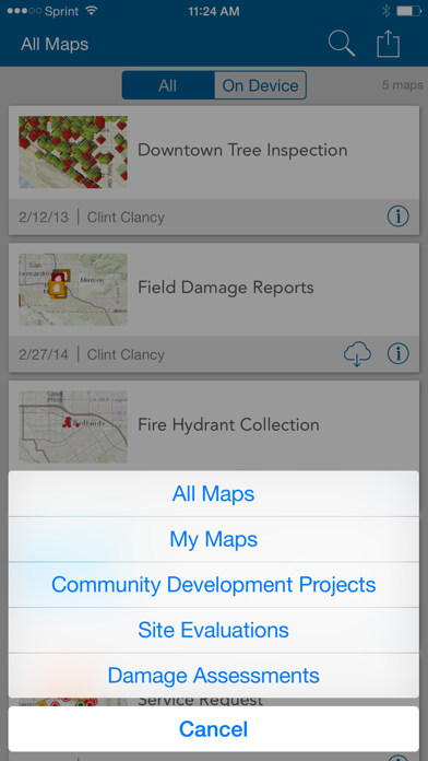
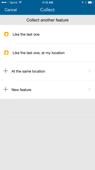
Read the store headline, screenshots and description. What problem is the app promising to solve?
Study the storefront ↗
ESRI · iOS
Explore the ad evidence, study the storefront, and build your next acquisition hypothesis.
01 / Creative research
Read the store headline, screenshots and description. What problem is the app promising to solve?
Study the storefront ↗Explore apps with direct store-link matches. Compare their hooks and formats without assuming the same approach works here.
Browse observed advertisers ↗Store rankings and revenue estimates describe market context. They do not establish ad spend, conversions or ROAS.
Review the market context ↗02 / Storefront & product
Study the product story and store experience behind the acquisition funnel.




03 / Market context
Keep revenue, downloads and store rankings separate from advertising performance.
ESRI makes amazing software for the desktop, but fails at its iOS apps. Every time I go to collect data in the field something always goes wrong. Stops recording GPS location and then “jumps” leaving a nice straight line, now I cannot sync my field data due to bad credentials (I am logged in with the app and now it won’t sync my work), and not to mention the inability to add point features while I am streaming a polyline. I am giving up on the collector app and will be using other mapping apps for data collection. Days worth of work now stuck in limbo due to some issues with this app. Worthless.
Very easy to create a mobile data collection app with mapping built in. These low star reviews are often complaining about things unrelated to the purpose of the app. GPS accuracy, come on, that's not a function of the app but of the GPS data stream's source. You think an iOS device by itself is survey grade? Unreal what some folks complain about. Write a collection app from scratch then come back and try Collector.
I’ve heard that this is a great app to use in the collection of GIS data. However, I’m not impressed. The location accuracy is no better than 16.2 feet. I know Esri can do better than that.
ArcGIS is available on your desktop, in a browser, and now on your iPhone or iPad. Use maps anywhere to ground truth your data, make observations, and...


