Screenshots




How Much Does Garmin Explore™ Make?
Platform Performance
Rating Distribution
Top Countries
Rankings
Reviews (3)▼
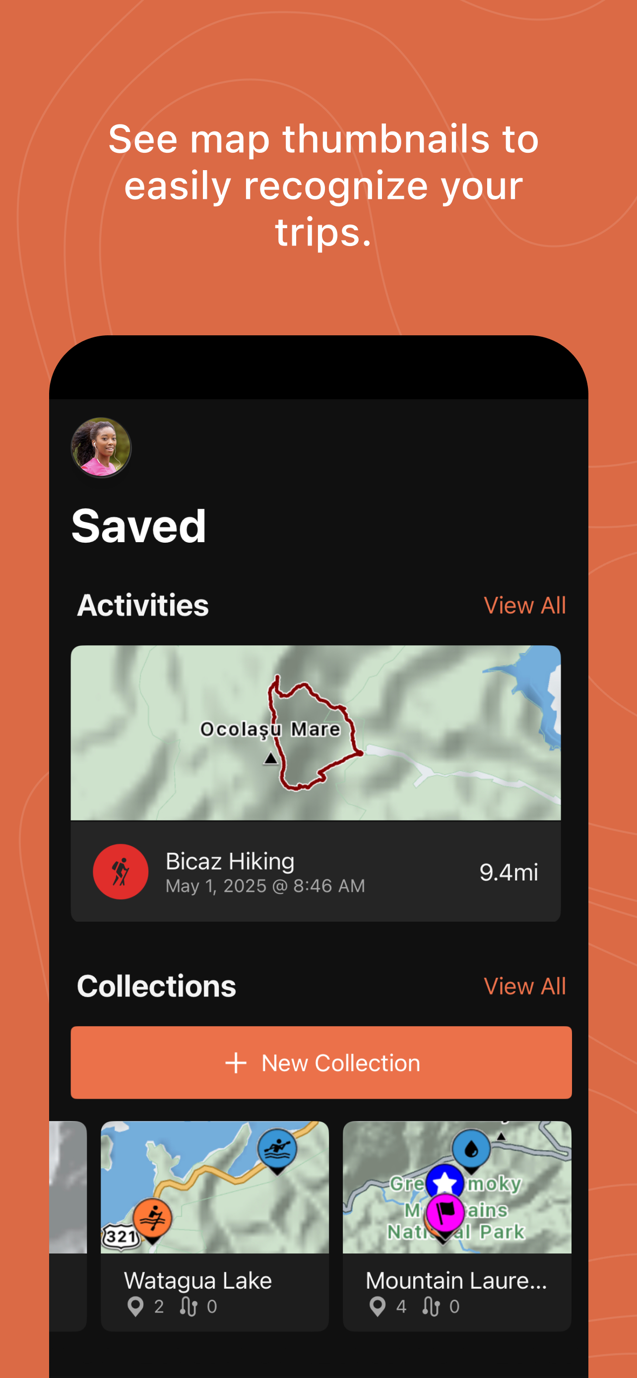
I use explore strictly to transfer waypoints and courses drawn on my phone to my Garmin while offline. I am grateful to be able to do this offline, but wish that Explore were more intuitive for this purpose. Explore has “collections” which isn’t very intuitive for my purposes. Meanwhile, when I go to sync, I have two options: Sync everything or sync a specific collection. What I would like to do is to just add a new waypoint or course to my device after I draw it. The problem is that I can either “sync everything” (which takes half an hour because then we have activities and other stuff syncing that I don’t need to sync (that is what Garmin Connect is for)… or I can sync a “collection”. Unfortunately, the process of organizing your collections to sync is quite tedious. For example, if you check the new course to be uploaded but forget to check the other ones that were already on your device, the app will delete all of your old waypoints from the device! Now, they have renamed collections to “saved” which is better from a nomenclature standpoint, but if all you want to do is get a course or waypoint transferred to your device, it is still too many steps. Perhaps there is another use case for this app, and it performs well for that purpose? For my purposes, it is klunky. There is a ConnectIQ app called grouteloader that is also super klunky, but it actually works better for this purpose. I hope that Garmin will eventually either improve Explore or write a standalone app that makes transferring waypoints and courses to the device a swift and easy process.
4 Stars right now. This was my second trip using Garmin Explore from my iPhone 12Pro Max: screen set to always on; 2 mile increments visible; also paired with Epix Gen 2 Pro. First trip Simple rural bike trail with family. Second trip deeper in the valley trails also added Garmin Series 2 Cadence and Speed trackers to road bike. Unfortunately I was unsuccessful in getting their Information to show up on the Explore app. Both trips experienced no lag or loss in tracking. Next, as soon as I’d reach the end of chosen 2 mile view distance (using pinch to zoom) I’d simply touch and slide the screen to where I was currently located on the far right off phone and keep going. In reviewing/comparing information from Garmin Connect I’m not seeing any surface discrepancies, Great work! What I like: Playback feature; Various views to choose from; Simplicity of connection to phone and Garmin Connect; Sharing; Battery usage (2nd trip: Screen set to always on/ Phone w/40% battery at start/ Rode for about 1-1/2 hours traversed 15ish miles and still had 5% battery upon return to starting point). Possible improvements: Route reorienting itself with direction I’m going facing up/away/or in the direction I am traveling; Visual tracking would automatically shift the visible map upon reaching the end of viable increments (especially when area map has been downloaded and no updates present); Improved way to identify Garmin tracking accessories ie cadence and speed sensors (neither ble or ant - however both were viable on Epix Gen 2 Pro watch and were actively connected). Overall keep up the GREAT WORK!!! Looking forward to deeper dives into the Total functionalities of Explore and associated Garmin apps and products. Thank You Highly Recommended
So my family does amateur paleontology, and because of that we tend to stick to public land and avoid private property like the plague unless we have express consent to be there. When I heard that this had public land marked out on the maps on this app I got super excited! I own a tactix delta and it’s my daily driver, but as I looked at these highly detailed maps...there’s no key. No where to be found. Now maybe in some submenu that I can’t find it’s there, but it’s certainly not apparent. If I have one gripe with this app it’s that it would be wonderful if there was a bright and clearly marked button to present the map key so that I can actually see visually the difference between public and private land on each map. Aside from that this app is a rockstar! It lets us make fuel calculations since we can watch our boating activities live, drop down for a dive when we tie off and switch activities, mark positions of fossil beds, and track back to the boat and the launch all in one app! It’s awesome! But please guys...a key would be amazing! Thanks for all the hard work though that went into building such an awesome app!
Version History (96)▼
Available In (115 Countries)▼
Supported Languages (35)▼
App Details▼
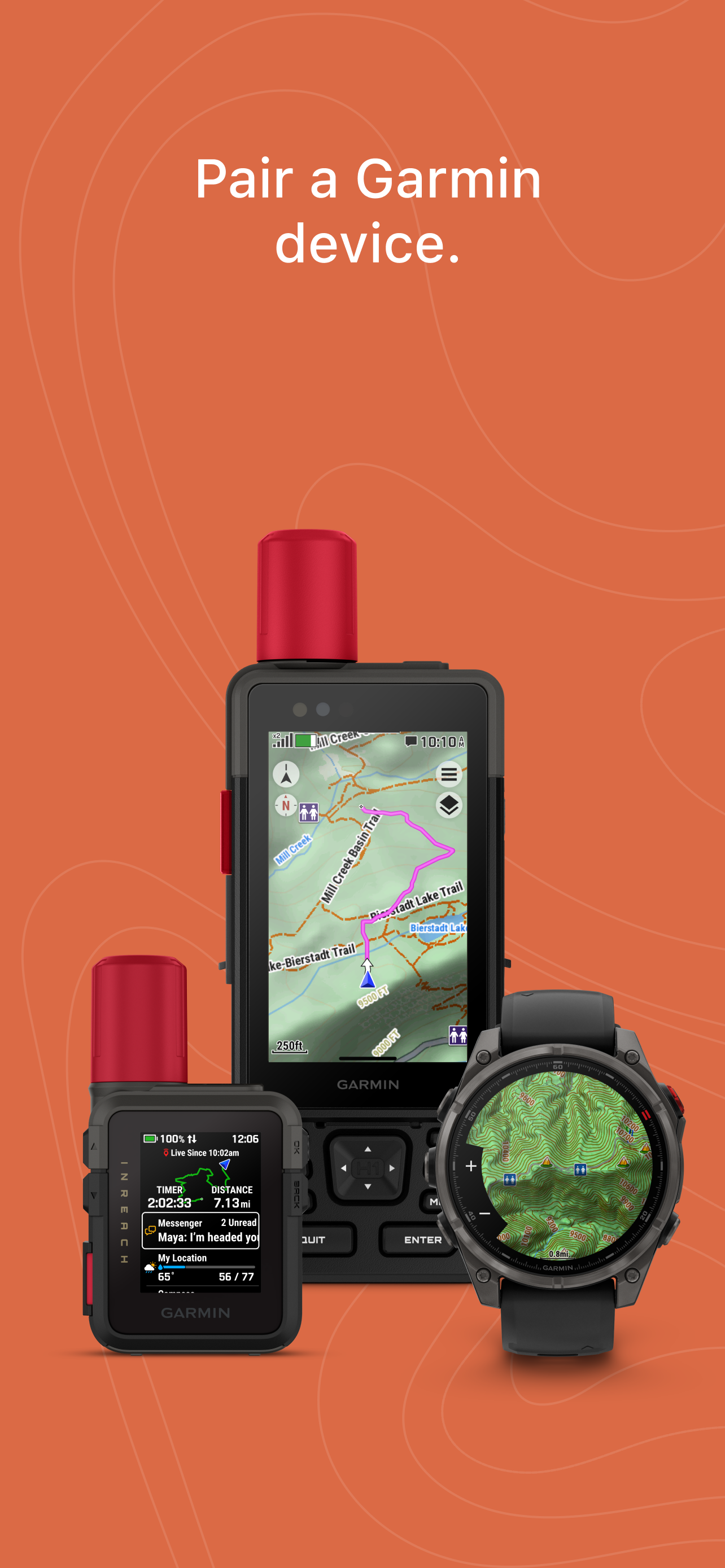
OFF-GRID NAVIGATION When paired with your compatible Garmin device(1), the Garmin Explore app lets you use your mobile device for outdoor navigation,...
Similar Apps