
Check the acquisition promise
Read the store headline, screenshots and description. What problem is the app promising to solve?
Study the storefront ↗
FunTreks Inc. · iOS
Explore the ad evidence, study the storefront, and build your next acquisition hypothesis.
01 / Creative research
Read the store headline, screenshots and description. What problem is the app promising to solve?
Study the storefront ↗Explore apps with direct store-link matches. Compare their hooks and formats without assuming the same approach works here.
Browse observed advertisers ↗Store rankings and revenue estimates describe market context. They do not establish ad spend, conversions or ROAS.
Review the market context ↗02 / Storefront & product
Study the product story and store experience behind the acquisition funnel.


03 / Market context
Keep revenue, downloads and store rankings separate from advertising performance.
I like the app a lot when I have data but downloading maps crashes the app frequently. The only way to fix is to remove the app, redownload, and try again. I want to download all of the maps to work offline since I have the room on my device, but I can never successfully download them all without the feature crashing. Developer, maybe setup a download all option?
I’ve been very happy with the series of books to discover trails in multiple state. This app is extremely expensive at $60 and now feels to me like a complete rip-off. This app just offers you the GPS track in pink. It is not color coded like in the books. You need to refer to the book to see the color of the current portion of the trail. None of the book text is present in the App. You still need to hold the book in your hands while driving. I had dowloaded the offline map for my trail. The map is basically useless : best case, it’s just yellow. you do not see the other roads. At an intersection, there is no intersection, just the pink track you’re on. So no way to know if a bypass or a shortcut exists. Refer to a paper map for that. Worst case, the screen turns black, the pink track disappears and you just have a blue dot in the middle of the black screen. Of course it happened to me while I was navigating tight switchbacks with scary drops on the side in Moab. ( I wish I could add screenshots to this review to show you how bad it is). Finally, unlike Google Maps, Apple Maps, this app does not keep the screen on. While getting bashed on boulders in steep descents, I had to constantly reenter my six digit passcode to wake up the phone. This app is a complete rip-off. I wish I could be refunded. You’re way better drawing your GPX track into Gaia than using this app.
*Recommend book AND app* I already have a book so I thought the app would be great in order for me to keep my eyes on the trail. Great in theory buy not in practice. While this app will get you to the trail head, or the end, you won't get much out of it after that other than a pink line showing the suggested route. Directions to the trailhead use Apple maps so if you have Apple Carplay and want to see it on the bigger screen it's great. But now that you are there you have to use the apps map to see the highlighted pink route... which isn't projected on the head unit cause Carplay doesn't work with 3rd party apps. Even if you install the specific trail map to your device, get to the trailhead, then decide to have the app route you to the end of the trail using the default Apple Maps it won't work cause you probably have no service. I found myself still using the book and glancing down every once in awhile to make sure I was on the right path but the book is written so well you don't need the app. This is not a $60 app IMO since it doesn't replace the book but is a minor supplementation to it. Make it $20 and it's easier to justify but you can get to the trailhead using the GPS coordinates in the book and download offline maps using Google. Without turn by turn directions and Apple's inability to display 3rd party apps as of writing this there's not much to see here.
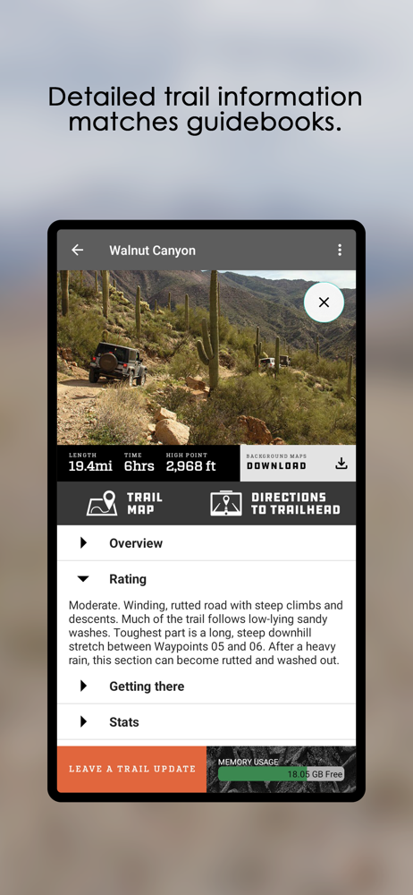
This app is not intended to be used alone, but rather as a GPS companion to FunTreks 4x4 guidebooks. It contains over 600 of the most popular offroad...


