Check the acquisition promise
Read the store headline, screenshots and description. What problem is the app promising to solve?
Study the storefront ↗
Drones Made Easy · iOS
Explore the ad evidence, study the storefront, and build your next acquisition hypothesis.
01 / Creative research
Read the store headline, screenshots and description. What problem is the app promising to solve?
Study the storefront ↗Explore apps with direct store-link matches. Compare their hooks and formats without assuming the same approach works here.
Browse observed advertisers ↗Store rankings and revenue estimates describe market context. They do not establish ad spend, conversions or ROAS.
Review the market context ↗02 / Storefront & product
Study the product story and store experience behind the acquisition funnel.
03 / Market context
Keep revenue, downloads and store rankings separate from advertising performance.
When is v 5 coming out?
I have worked with every photogrammetry app/software for aerial mapping in the past 5 years and for quick, quality maps, I always use Maps Made Easy. Sure, there are ones that achieve better results. But for example, I helped the company Geodetics build their GEO-MMS Velodyne LiDAR system on a M600. It took about 6 months to build/test/analyze the system then another 6 to perfect it. Now they sell for six figures. Plus you have to do all the stitching/texturizing yourself. MME isn’t going to give you a perfect map, it’s not built for it NOR is it priced for that. Keep that in mind, and say thank you every time they stitch the map and give you 10 different files including OBJ.
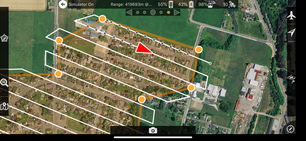
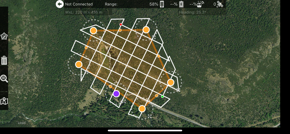
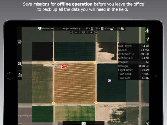
I like how you can plot your flight pattern, and this app does a good job at flying it for you. Here's where the app falls short "imo" I takes way,way,way to many photos. The app needs to have the ability for the user to select where along the flight path you want a photo taken by dropping pins of your poi. Current version you have to fly higher for less photos. It also needs the option to pick the distance between your passes without having to go to a higher altitude. Here's an example of what it should be able to do.... Let's say I want to fly a 50 acre area, I want to fly at 150ft, take 6 photos of poi, and make 6 passes within this area. If you were to try flying a 50 acre area at 150ft with the way the app is now, you would make approx 20-30 passes and take 900 photos not joking.
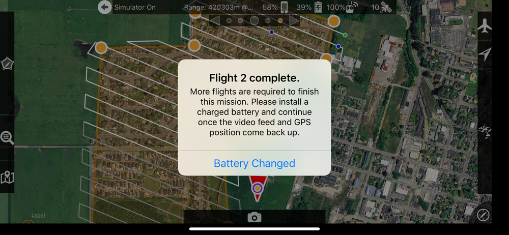
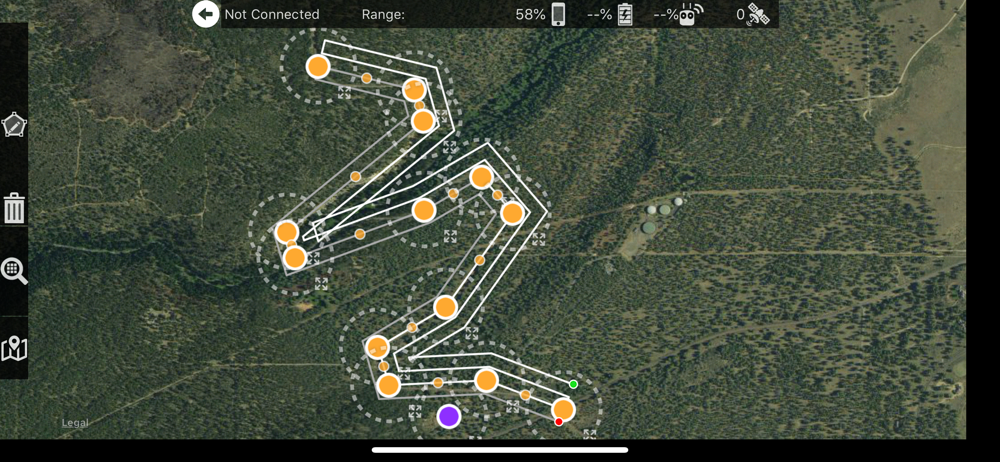
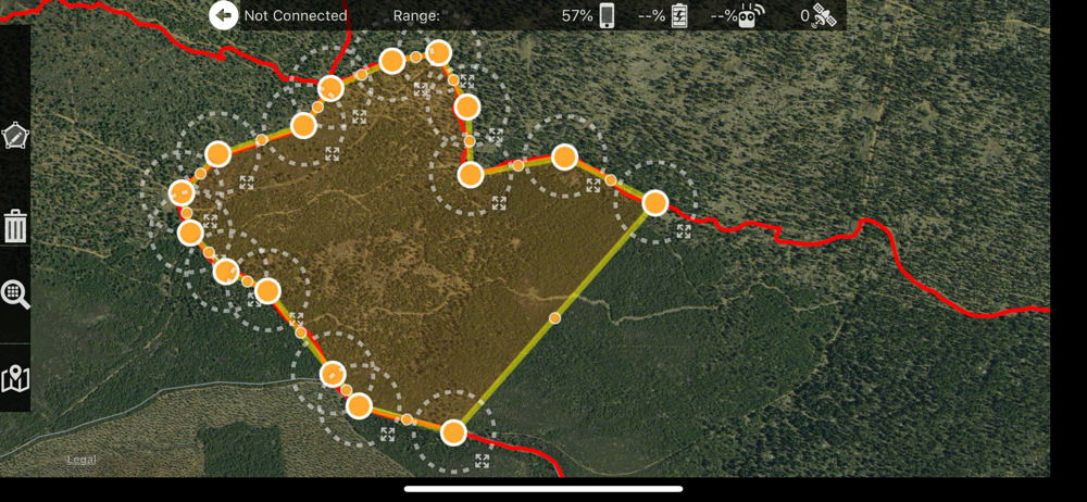
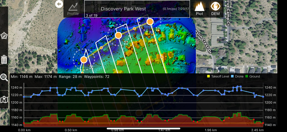
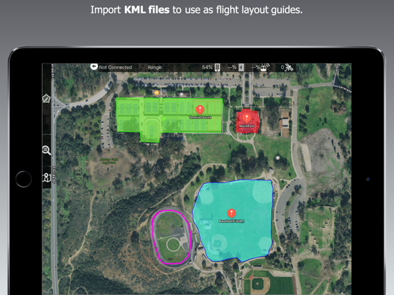
Map Pilot helps you create and fly the optimal flight path to create great maps using the Maps Made Easy map processing service. Collecting great data...
| Name | Price | Type |
|---|---|---|
| Unlock RAW Photo Format | $4.99 | One-time |
| Unlock Extended Overlap Range | $4.99 | One-time |
| Unlock Terrain Awareness | $9.99 | One-time |
| Upgrade to Business (MP +) | $9.99 | One-time |
| Unlock Movable Home Point | $19.99 | One-time |
| Unlock Linear Mission Planning | $19.99 | One-time |
| Upgrade to Business (MP +) | $19.99 | One-time |
| Unlock Cameraless Takeoff | $29.99 | One-time |
| Upgrade to Business (MP +) | $29.99 | One-time |
| Upgrade to Business (MP +) | $39.99 | One-time |