
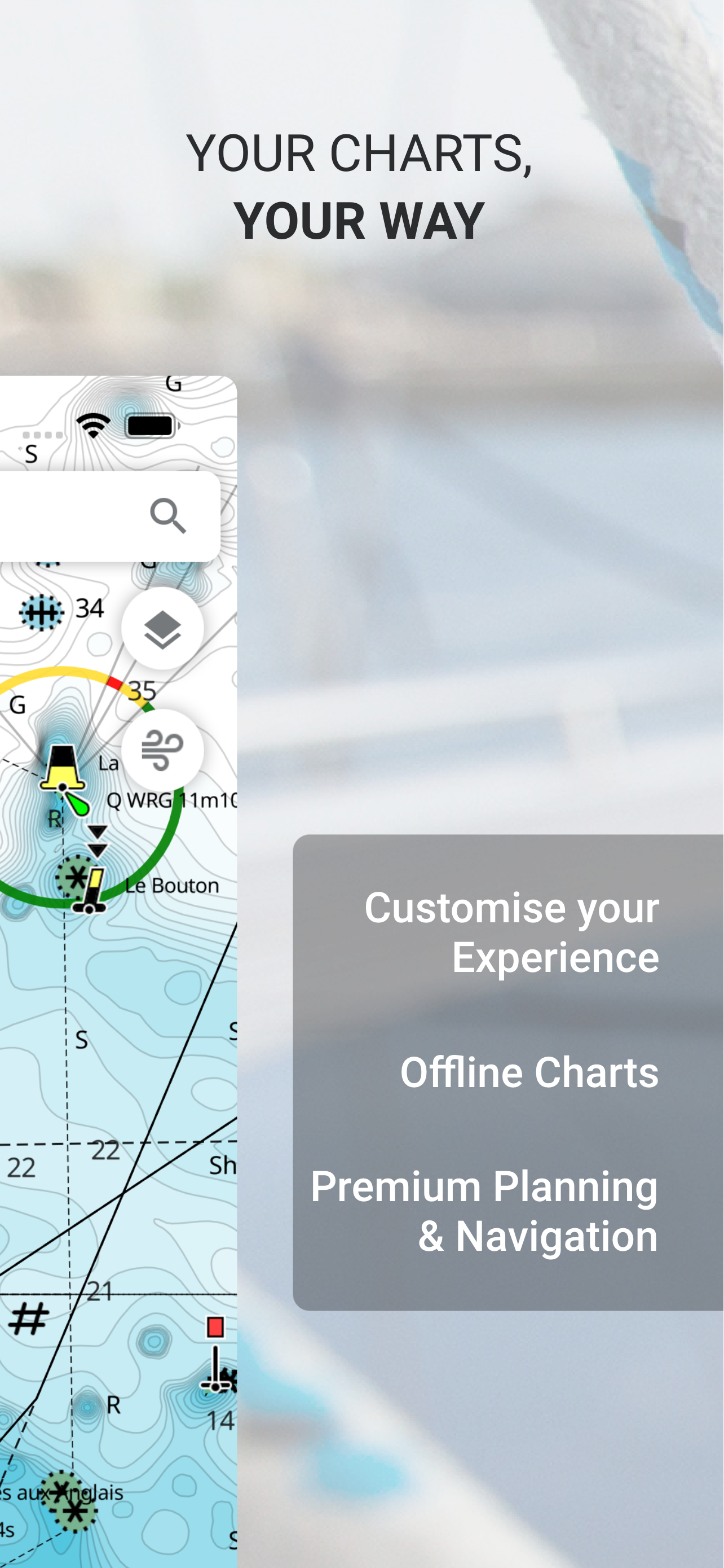
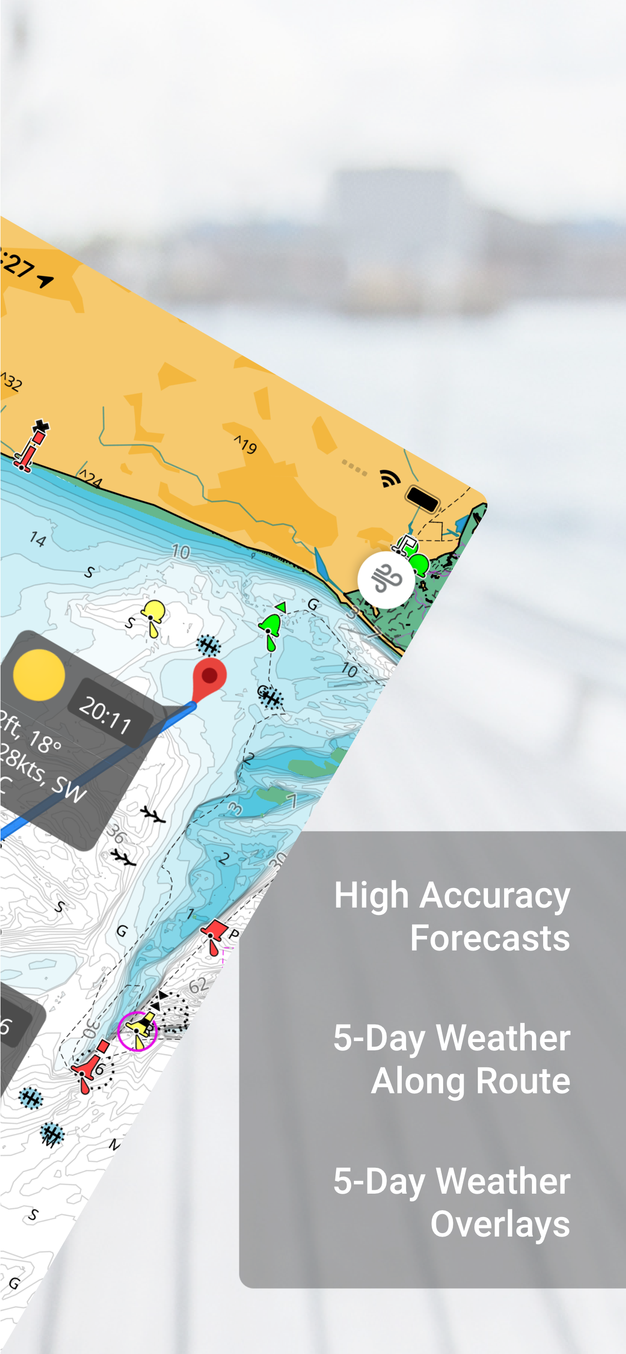
Screenshots


How Much Does C-MAP: Boating Make?
Platform Performance
Rating Distribution
Top Countries
Rankings
Reviews (3)▼
As a professional running a guide service in the Inland Northwest, the importance of accurate and reliable navigation tools cannot be overstated. C-Map has proven to be an effective and valuable part of my daily operations, however, its functionality could be expanded to better serve professionals in the field. The app’s current reliance on the built-in GPS of tablets and phones can be limiting, especially for professionals like myself who depend on the superior accuracy and reliability of external GPS units. The addition of support for external GPS devices would greatly enhance its usefulness. Equally important to me, as a professional, is the ability to use NMEA data from my boat’s internal network. Incorporating the ability to utilize this data would allow for greater interoperability with existing systems, as the coordinates from the external GPS are broadcast in NMEA format. Despite these areas for improvement, C-Map continues to be a reliable app that I frequently use and recommend. I hope that in the future, developers will consider these enhancements, thereby making the app an even more indispensable tool for professionals in the maritime industry. In its current state, I would rate C-Map at 3.5 out of 5 stars, but with these improvements, I am confident it would easily earn a perfect score. Until then, I will continue to utilize and support C-Map, eagerly awaiting these crucial upgrades.
I spent considerable time this past week trying out C-MAP and other marine navigation apps like iNavX, Navionics, Wavve, etc., in an effort to find the best one to run on my iPad while sailing. C-MAP was the hands-down winner so I felt compelled to write a review and let people know how great this app is. First of all C-MAP stands in stark contrast to competing marine navigation maps because it’s uncluttered and the maps are super snappy and run butter-smooth on my iPad Air. You get intuitive options for distance/time estimating, mapping out routes, basic weather/wave/tide data, your GPS coordinates, even points of interest in the area... and it’s completely FREE! If you choose to upgrade (for just $19/year) you can even see more detailed weather forecasts and AIS traffic on-screen. As a tech CMO and recreational sailor I have to tell you, this app has every single thing I was looking for and nothing that I wasn’t - some serious thought went into C-MAP, from its design and feature set to its user experience. The only other marine app I use (and don’t really need) now is PredictWind, just to get really granular on wind speed and direction. I happily deleted all of the other marine apps on the iPad. If you’re searching for a boating/sailing navigation app like I was, give this one a try. There’s really no need to look elsewhere.
Embark has quickly become my favorite charts app. The cartography is top-notch and takes full advantage of a high resolution display. Updates are frequent, and the dev team is amazingly responsive. There are still some features I’d love to see (tidal currents, make it easier to find tide stations other than the closest and predictions farther out than a few days, track export), but they are continuously improving and I keep looking forward to seeing update notifications. I just hooked my B&G MFD up to my account, and I’m loving the way that tracks and routes sync. That feature plus the solid auto-routing make planning a joy- no more standing at the helm fighting the smaller screen and less responsive touchscreen! Instead I can do my planning sitting in an easy chair at home while anticipating the trip! Hats off to the devs for an app that is truly a joy to use!
Version History (187)▼
Available In (115 Countries)▼
Supported Languages (1)▼
App Details▼
The C-MAP® App is the perfect companion for recreational boaters and water-lovers. Available on Mobile, Tablet or PC, you’ll always be able to access...
In-App Purchases (10)
| Name | Price | Type |
|---|---|---|
| Embark Advanced Weather (Monthly) | $1.99 | Monthly |
| Embark Offline Maps USA (Monthly) | $2.49 | Monthly |
| Annual subscription | $14.99 | Yearly |
| Annual Subscription | $14.99 | Yearly |
| Region (Annual) | $18.99 | Yearly |
| Region (Annual) | $18.99 | Yearly |
| North America (Annual) | $23.49 | Yearly |
| Maps Lakes South East USA (Annual) | $25.99 | Yearly |
| Caribbean (Annual) | $32.99 | Yearly |
| Maps USA East Coast & Bahamas (Annual) | $39.99 | Yearly |
Similar Apps


