Check the acquisition promise
Read the store headline, screenshots and description. What problem is the app promising to solve?
Study the storefront ↗
LW Brands, LLC · iOS
Explore the ad evidence, study the storefront, and build your next acquisition hypothesis.
01 / Creative research
Read the store headline, screenshots and description. What problem is the app promising to solve?
Study the storefront ↗Explore apps with direct store-link matches. Compare their hooks and formats without assuming the same approach works here.
Browse observed advertisers ↗Store rankings and revenue estimates describe market context. They do not establish ad spend, conversions or ROAS.
Review the market context ↗02 / Storefront & product
Study the product story and store experience behind the acquisition funnel.





03 / Market context
Keep revenue, downloads and store rankings separate from advertising performance.
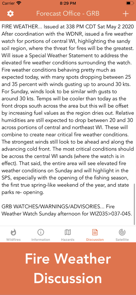
As the app states, the information provided is not detailed enough for operations; however, it has plenty enough detail for someone to keep tabs and make reasonable estimations of regional fire behavior thanks to the forecasts. I use this app to watch the fire season progress while I’m not deployed. I took one star off because the main map is not quite intuitive. I wish when you clicked on the fires it could give more information about them. Also, it would be nice if the map would indicate where the forecasting offices are for people like me who are unfamiliar with them so I can cross reference forecasts based on stations nearest to the fires. A minor gripe, overall I love the app!
My friend's house in Zuma beach is gone as of a few hours ago and several other friends I haven't heard back from about their homes in Malibu, TO, Agoura during the Woolsey fire on November 9, 2018. No data even showing for Malibu when much of it has already been evacuated and burned. I tried the zooming in and out. Yes, of course this app shouldn't be relied upon to save one's life. But it doesn't even show Malibu as a burn area as of 3:45pm when much of the area has already been burned. UPDATE- data seems to be coming in slowly. As of 5pm-ish data for Malibu burn area and Sta. Monica mountains is now showing. UPDATE- Also noticed air quality index isn't accurate either, maybe based on conditions without the fires. About 48 hours into the Woolsey and Hill fires still shows good-moderate all over the area. We are 50mi east of fires in Pasadena and the air out here is thick like burning tires. Can't go outside.
I saw something I’ve never seen before: the developer actually offering to assist a confused reviewer! I decided to chance it and bought the app. Noticed a small discrepancy and notified the developer, and he responded within the hour with professional curtesy and appreciation! The developer genuinely is concerned about his creation and how people like it and it shows! Concerning the app: fantastic link to NOAA data that is very timely and accurate! We could see the progression of the Pole Fire (Utah) and we could predict that some communities might be under threat, and then the public alerts for evacuations started coming from the local news. On the downside: the map could use a bit more detail regarding terrain, towns, and roads, as we had to translate the maps here with Google Maps to determine scale and location with surface features. How the developer can accomplish this is a bit beyond me, but would welcome to help where I can. Despite this one drawback, I must give this app 5✖️🌠🌟⭐️💫✨!
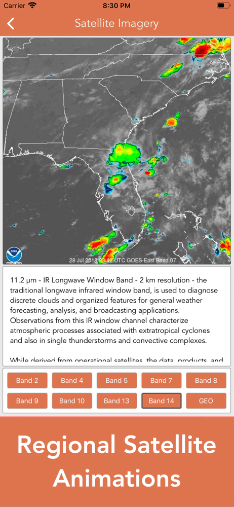
Download the most comprehensive Wildfire app for iOS. CURRENT WILDFIRES - MODIS Thermal Satellite Fire Detection - VIIRS IBAND Fire Detection -...