Check the acquisition promise
Read the store headline, screenshots and description. What problem is the app promising to solve?
Study the storefront ↗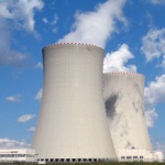
Black Cat Systems · iOS
Explore the ad evidence, study the storefront, and build your next acquisition hypothesis.
01 / Creative research
Read the store headline, screenshots and description. What problem is the app promising to solve?
Study the storefront ↗Explore apps with direct store-link matches. Compare their hooks and formats without assuming the same approach works here.
Browse observed advertisers ↗Store rankings and revenue estimates describe market context. They do not establish ad spend, conversions or ROAS.
Review the market context ↗02 / Storefront & product
Study the product story and store experience behind the acquisition funnel.

03 / Market context
Keep revenue, downloads and store rankings separate from advertising performance.
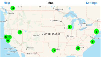
I started using this app while researching radiation exposure planning. With a nuclear plant nearby, I had discovered reports of high levels of over 300 for several days a few years back. The reports were from the public and stated even with multiple calls to the plant (one posing as a higher govt agency), no release of information was given out to the public. As I searched, this was the only option I found for real time monitoring. There were originally 2 sites right at the plant reporting. Those went away leaving only 1 in the DFW area.
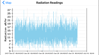
if can display the graph, black screen is shown up by tapping the circle. Is there any setting needed to display the graph?
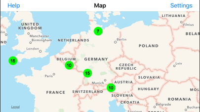
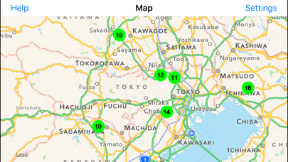
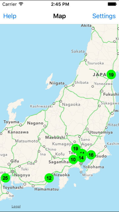
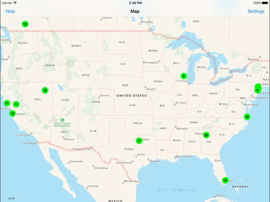
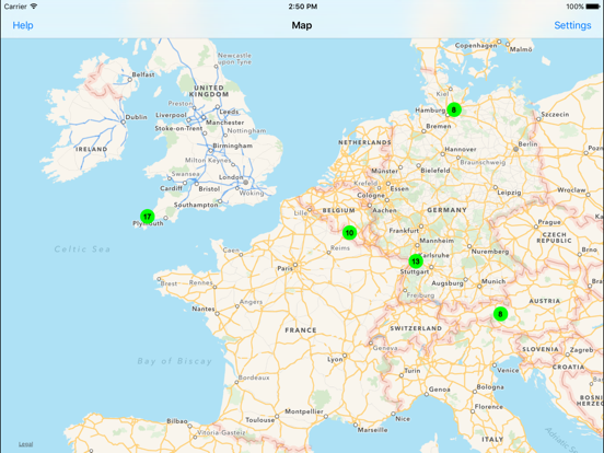
Those of you calling this a waste... You're idiots!!! Now pay attention: black cat systems makes hardware radiation detectors that interface w computers. This is not a government run service, it's strictly voluntary. When an owner of the hardware is testing the radiation level, it registers on a map for all to see. The more people testing, the more readings. This app is a mobile version of their map on the website, nothing more, nothing less and it's worth a buck for me to have access to the info. If there's no reading in your area do us all a favor and get some friends together, buy a monitor unit, connect it to your computer and let us all see what your readings are. Oh and I don't work for the company, I'm just a guy on the west coast concerned about the impending Fukushima disaster.
Concerned about nuclear radiation levels, due to fallout from damaged nuclear reactors, nuclear tests, or other events? Radiation Map Tracker connec...