
$1.0K
Revenue
1.0K
Downloads
4.3 ★
Rating
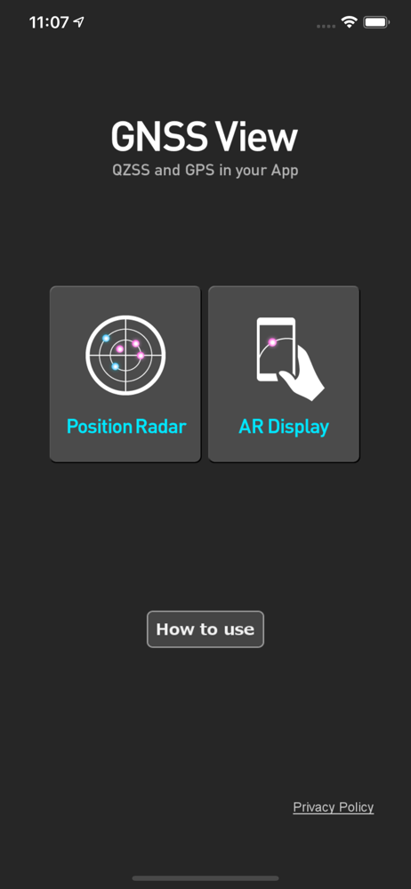
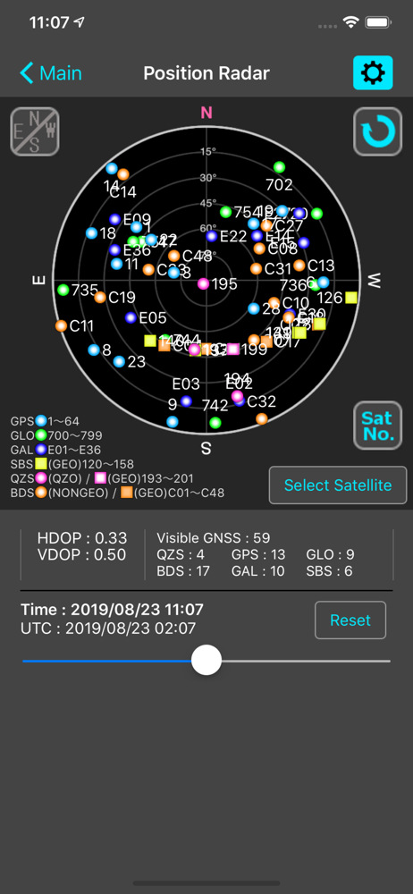
Screenshots
How Much Does GNSS View Make?
Monthly Revenue
$1.0K
Yearly Revenue
$12.0K
Per Download
$1.00
Platform Performance
🍎iOS
Revenue
$1.0K
Downloads
1.0K
Rating
4.3 ★(19)
Rating Distribution
4.3
★★★★☆
19 reviews
5
11%
4
0%
3
5%
2
16%
1
68%
Top Countries
🇯🇵 JP🇩🇪 DE🇫🇷 FR
Reviews (2)▼
★★★★★Albie569/10/2019
Great App
AR view is awesome. Prior to this app I had a hard time visualizing satellite locations, orientations, and configurations. Thank you!
★★★★★GNSS SPECIALIST9/28/2018
Amazing
This is an amazing useful tool if you need to know were satellites are in the sky and if they are being blocked by trees are buildings. The most useful application come along in a long time.
Version History (22)▼
6.0.17/18/2025
6.0.07/16/2025
5.0.33/24/2025
5.0.23/14/2024
5.0.14/5/2023
5.0.04/5/2022
4.1.03/25/2020
4.0.28/23/2019
4.0.13/12/2019
4.0.03/7/2019
Available In (115 Countries)▼
🇺🇸 United States🇦🇺 Australia🇨🇦 Canada🇨🇳 China🇫🇷 France🇩🇪 Germany🇬🇧 United Kingdom🇮🇹 Italy🇯🇵 Japan🇰🇷 South Korea🇷🇺 Russia🇩🇿 DZ🇦🇴 AO🇦🇷 Argentina🇦🇹 Austria🇦🇿 AZ🇧🇧 BB🇧🇾 BY🇧🇪 Belgium🇧🇲 BM🇧🇷 Brazil🇧🇬 Bulgaria🇨🇱 Chile🇨🇴 Colombia🇨🇷 CR🇭🇷 Croatia🇨🇿 Czech Republic🇩🇰 Denmark🇩🇴 DO🇪🇨 EC🇪🇬 Egypt🇸🇻 SV🇫🇮 Finland🇬🇭 GH🇬🇷 Greece🇬🇹 GT🇭🇰 Hong Kong🇭🇺 Hungary🇮🇳 India🇮🇩 Indonesia🇮🇪 Ireland🇮🇱 Israel🇰🇿 KZ🇰🇪 Kenya🇰🇼 KW🇱🇧 LB🇱🇹 Lithuania🇱🇺 LU🇲🇴 MO🇲🇬 MG🇲🇾 Malaysia🇲🇽 Mexico🇳🇱 Netherlands🇳🇿 New Zealand🇳🇬 Nigeria🇳🇴 Norway🇴🇲 OM🇵🇰 Pakistan🇵🇦 PA🇵🇪 Peru🇵🇭 Philippines🇵🇱 Poland🇵🇹 Portugal🇶🇦 QA🇷🇴 Romania🇸🇦 Saudi Arabia🇸🇬 Singapore🇸🇰 Slovakia🇸🇮 Slovenia🇿🇦 South Africa🇪🇸 Spain🇱🇰 LK🇸🇪 Sweden🇨🇭 Switzerland🇹🇼 Taiwan🇹🇭 Thailand🇹🇳 TN🇹🇷 Turkey🇺🇦 Ukraine🇦🇪 UAE🇺🇾 UY🇺🇿 UZ🇻🇪 VE🇻🇳 Vietnam🇧🇴 BO🇪🇪 Estonia🇱🇻 Latvia🇳🇮 NI🇵🇾 PY🇰🇭 KH🇦🇫 AF🇬🇪 GE🇮🇶 IQ🇱🇾 LY🇲🇦 MA🇲🇿 MZ🇲🇲 MM🇾🇪 YE🇧🇭 BH🇨🇾 CY🇲🇹 MT🇷🇸 RS🇧🇯 BJ🇧🇫 BF🇨🇲 CM🇨🇬 CG🇨🇮 CI🇯🇴 JO🇱🇦 LA🇲🇱 ML🇸🇳 SN🇹🇿 TZ🇺🇬 UG🇿🇲 ZM🇿🇼 ZW
Supported Languages (1)▼
English
App Details▼
This application enables you to see where the Quasi-Zenith Satellite System in the sky! ●What is QZSS? Quasi-Zenith Satellite System (QZSS) is a Japa...
Publisher
NEC Corporation
US
Similar Apps

ジオグラフィカ | 登山用GPS
keiji matsumoto

国土マップR
keiji matsumoto

GPS Data Smart
ExaMobile S.A.
4.7 ★

Coordinates – GPS Converter
Mapnitude Company Limited
4.7 ★

スーパー地形
Tomohiko Sugimoto
4.6 ★

My GPS Coordinates °
MYSTIC MOBILE APPS LLC
4.6 ★

Eos Tools Pro
Eos Positioning Systems
4.6 ★

Drone Maps Japan
Keishi Ishimura
3.7 ★

Satellite Info GPS Status
Tigran Mkhitaryan
2.0 ★

Trimble Mobile Manager
Trimble Inc.
1.9 ★