

Screenshots


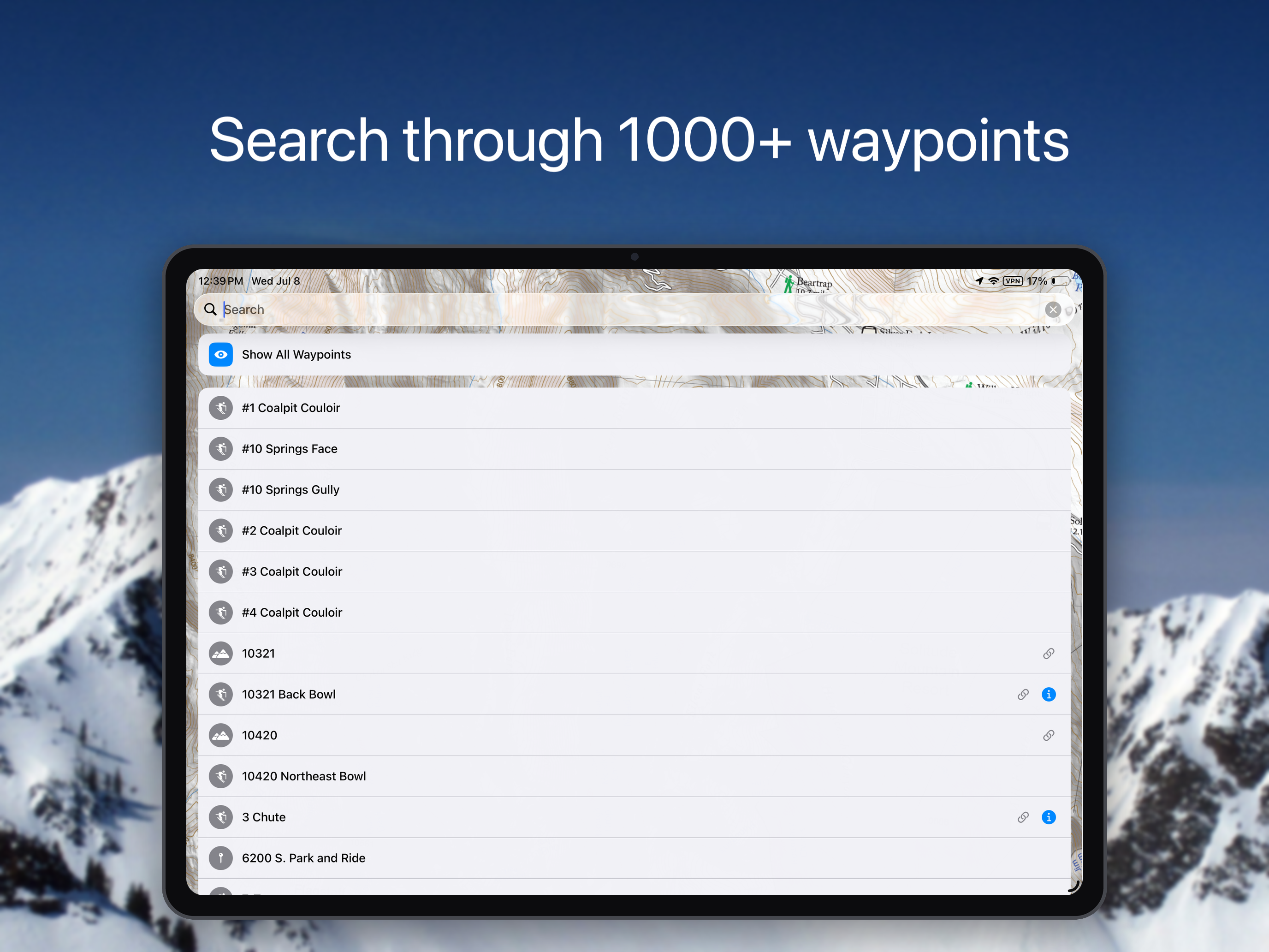
How Much Does Wasatch Backcountry Skiing Map Make?
Platform Performance
Rating Distribution
Top Countries
Reviews (3)▼
Super happy with this app, and we’ll worth the price. GPS location even when out of service is accurate, and the map is easy to navigate. Elevation is also accurate enough. As others have mentioned, it would be nice to be able to access (offline) info for a specific route that you’re doing that day. It would also be interesting to see an overlay of the route you took (or are supposed to take) for certain routes, although the argument could be made that this takes the learning out of route finding and navigation (fair). All in all, I love it! The extra features would be icing on the cake. I appreciate the work that went into this!
This app is worth every dime. I always have the paper map in my pack (buy that, too), but to say that I use this app a lot is an understatement. The map and guide are easily the best and most detailed resource available for travel in our mountains. It’s a straightforward PDF of the paper map, but that’s all you need. There’s a compass screen that provides heading, location, and elevation, but that’s about it. No fancy trackers or social media connection to bloat the app and drain your battery. Perfection! I do wish that the online guide were somehow available for download for situations in which you want to research a new line because of a change in plans but don’t have solid signal. I understand that keeping the guide online allows for easier updating, but it would be nice if offline access could somehow be incorporated. As it is, I just screencap every possible entry along any planned route before we leave home. The only other feature I can think of that I MIGHT want is for the option to automatically orient the app to your direction of travel. It lets you do this manually and already has the compass display, so this seems like it might be a simple tweak to connect the two elements. But this is a minor thing, and I don’t think I’ve ever sat on a mountain and really wished it could do this.
I use this app to plan if not to navigate on every tour I go on in the Wasatch. It’s simple to use, accurate, and helps me and my ski partners make good decisions in the Backcountry when exploring new or unfamiliar terrain. It’s well worth the money and should go side by side the UAC app if you’re planning on touring the wasatch area. Less complicated than Gaia, but with enough extras to be a powerful tool in your pocket when you’re on the skin track. Pro tip: You can use it while your phone is in airplane mode ;)
Version History (2)▼
Available In (115 Countries)▼
Supported Languages (1)▼
App Details▼
The Wasatch Backcountry Skiing Map is the iOS version of the popular paper map and website (visit WBSkiing.com). As with the other platforms, the iOS...