Check the acquisition promise
Read the store headline, screenshots and description. What problem is the app promising to solve?
Study the storefront ↗
Core Signals · iOS
Explore the ad evidence, study the storefront, and build your next acquisition hypothesis.
01 / Creative research
Read the store headline, screenshots and description. What problem is the app promising to solve?
Study the storefront ↗Explore apps with direct store-link matches. Compare their hooks and formats without assuming the same approach works here.
Browse observed advertisers ↗Store rankings and revenue estimates describe market context. They do not establish ad spend, conversions or ROAS.
Review the market context ↗02 / Storefront & product
Study the product story and store experience behind the acquisition funnel.



03 / Market context
Keep revenue, downloads and store rankings separate from advertising performance.
In todays intense Farming operations I find this app to be a necessity. Here in California’s expensive Vegetable and Berry production regions precision is a must. The sub inch GPS systems we utilize in our industry to ensure consistency and accuracy is key as the we try to drive efficiency and yields. That said, it’s understood that though this app isn’t going to get to that level of accuracy +/- 1” it is still a tool I use to do rough calculations daily to run labor cost efficiency for harvest and farm labor crews as it gives us ballpark until the efficiency reports are generated from payroll. I’ve used this app for years after trying many others and I found it to be simple and clean interface. Just my 2 cents.
It seems like the only way to map anything is to use Google maps… Which hasn’t been updated with a satellite view in quite a while. Even if it had, there’s so many trees on the property, it’s basically impossible to tell where you’re at location wise. There doesn’t seem to be a way to go from app to physical location easily. We’re trying to measure out fencing for less than an acre, but there’s no way to put in any coordinates (unless I’m missing something). The “help” portion of the app isn’t helpful. It just gives you the most basic information that you can probably figure out on your own. I could do something similar in a basic image editing software and not waste $8. If you have multiple acres of land, I’m sure this would be more useful.
This is one of the best apps of its kind. The capability is incredible and allows for most of my needs. This includes things like having multiple shapes colors and more. On the down side, it would be nice if you had more options for showing notes and presenting measurements. Another major issue is the inability to export maps to another device or a sync feature so my maps would be current on all my devices. The only other thing I can think of is the maps offered in this program are not as current as some of the other apps I use. Not a big deal overall but worth mentioning.
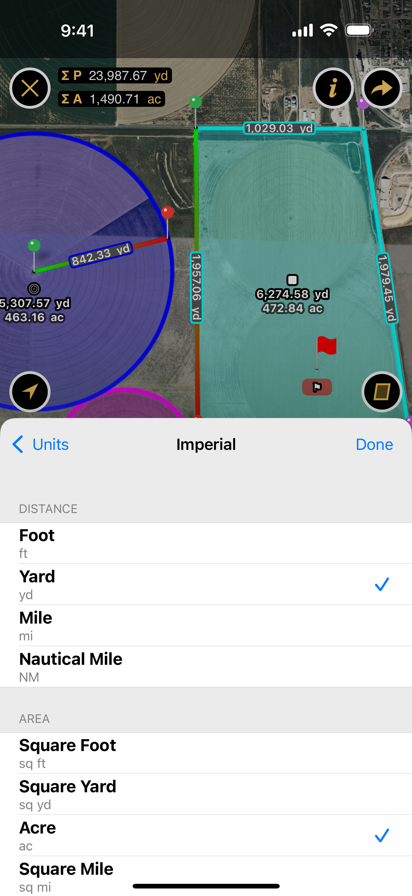
Planimeter measures distances and land areas on maps. Measure your outdoor projects - lawns, fences, paving, or anything else visible on the satellit...
| Name | Price | Type |
|---|---|---|
| Pro Access (Weekly) | $11.99 | Weekly |
| Pro Access (Monthly) | $47.99 | Monthly |