Check the acquisition promise
Read the store headline, screenshots and description. What problem is the app promising to solve?
Study the storefront ↗
Adventure Projects Inc. · iOS
Explore the ad evidence, study the storefront, and build your next acquisition hypothesis.
01 / Creative research
Read the store headline, screenshots and description. What problem is the app promising to solve?
Study the storefront ↗Explore apps with direct store-link matches. Compare their hooks and formats without assuming the same approach works here.
Browse observed advertisers ↗Store rankings and revenue estimates describe market context. They do not establish ad spend, conversions or ROAS.
Review the market context ↗02 / Storefront & product
Study the product story and store experience behind the acquisition funnel.

03 / Market context
Keep revenue, downloads and store rankings separate from advertising performance.
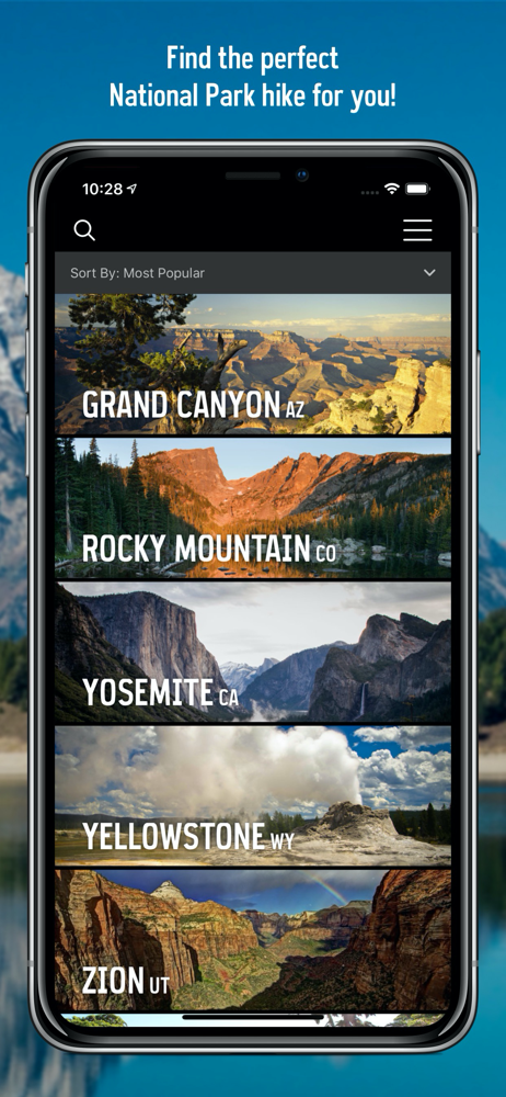
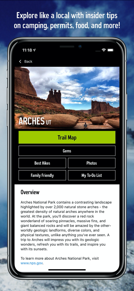
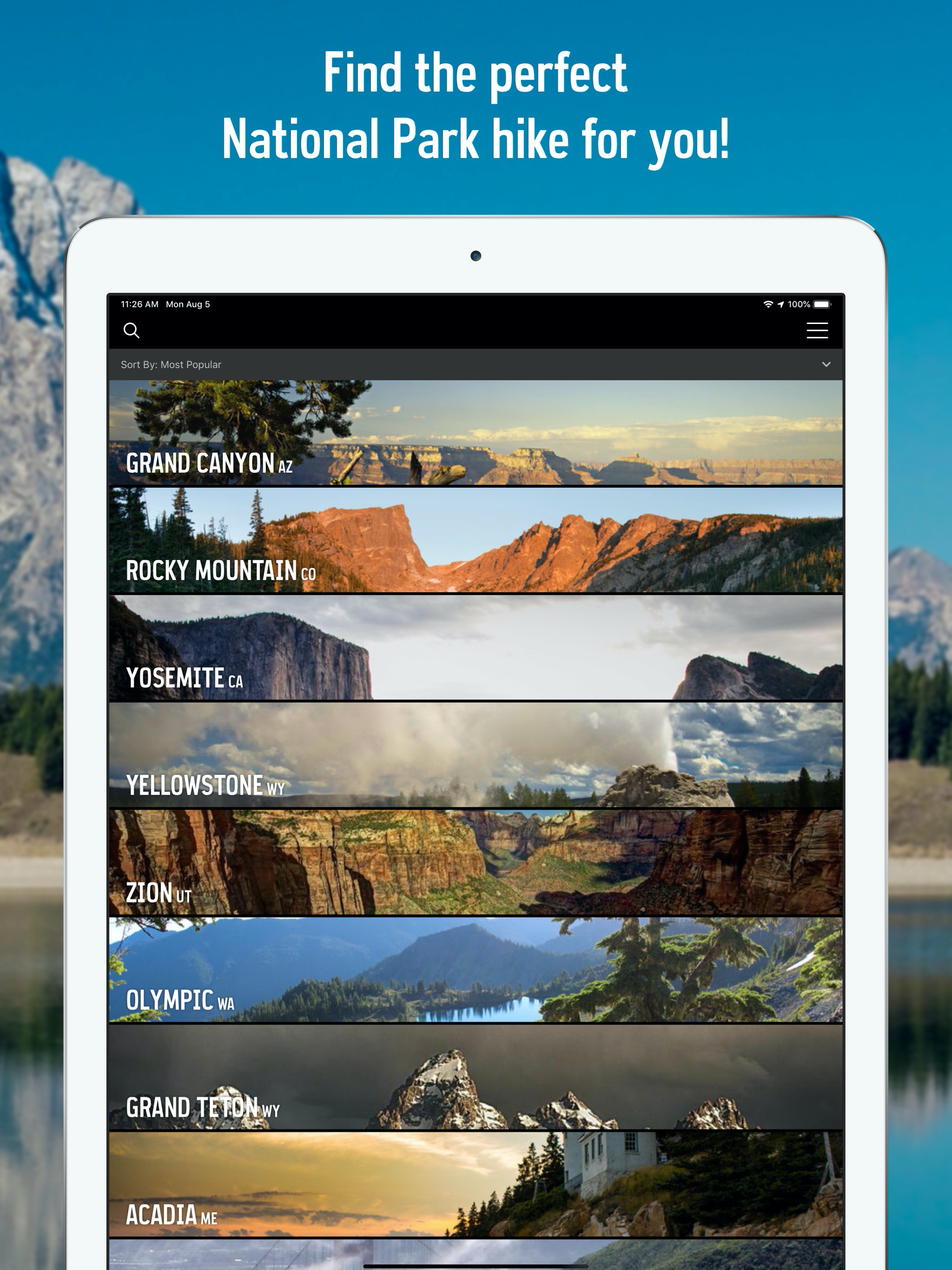
First off, I love this app and program. It has literally improved every single National Park trip of mine, and I couldn’t be more grateful. If I could give it 3.5 stars I would. Unfortunately there is some issue when it comes to organization. Some of the “parks” listed are instead units of the National Park system. If there could be a way to separate the actual 63 national parks from the several hundred other units and monuments, that would make the user experience much more enjoyable. Additionally multiple trails appear to be lacking, such as the trail to summit Rainer, cavern trails at Carlsbad and Mammoth Cave, and the trail to summit Denali. If these could be added that would be a tremendous improvement to keeping track of routes taken. Fix these and so long as there are no bugs it will immediately result in a 5 star review!
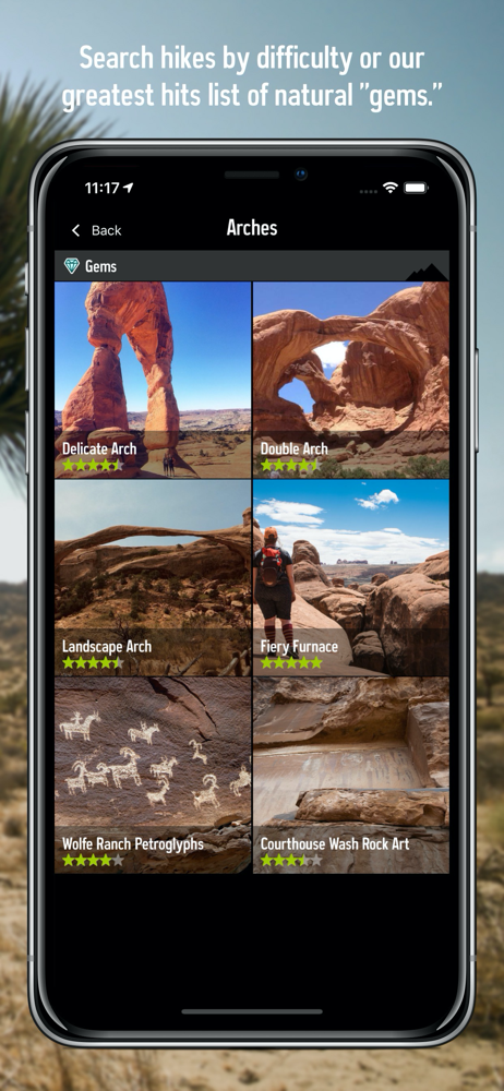
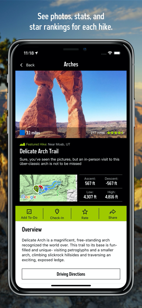
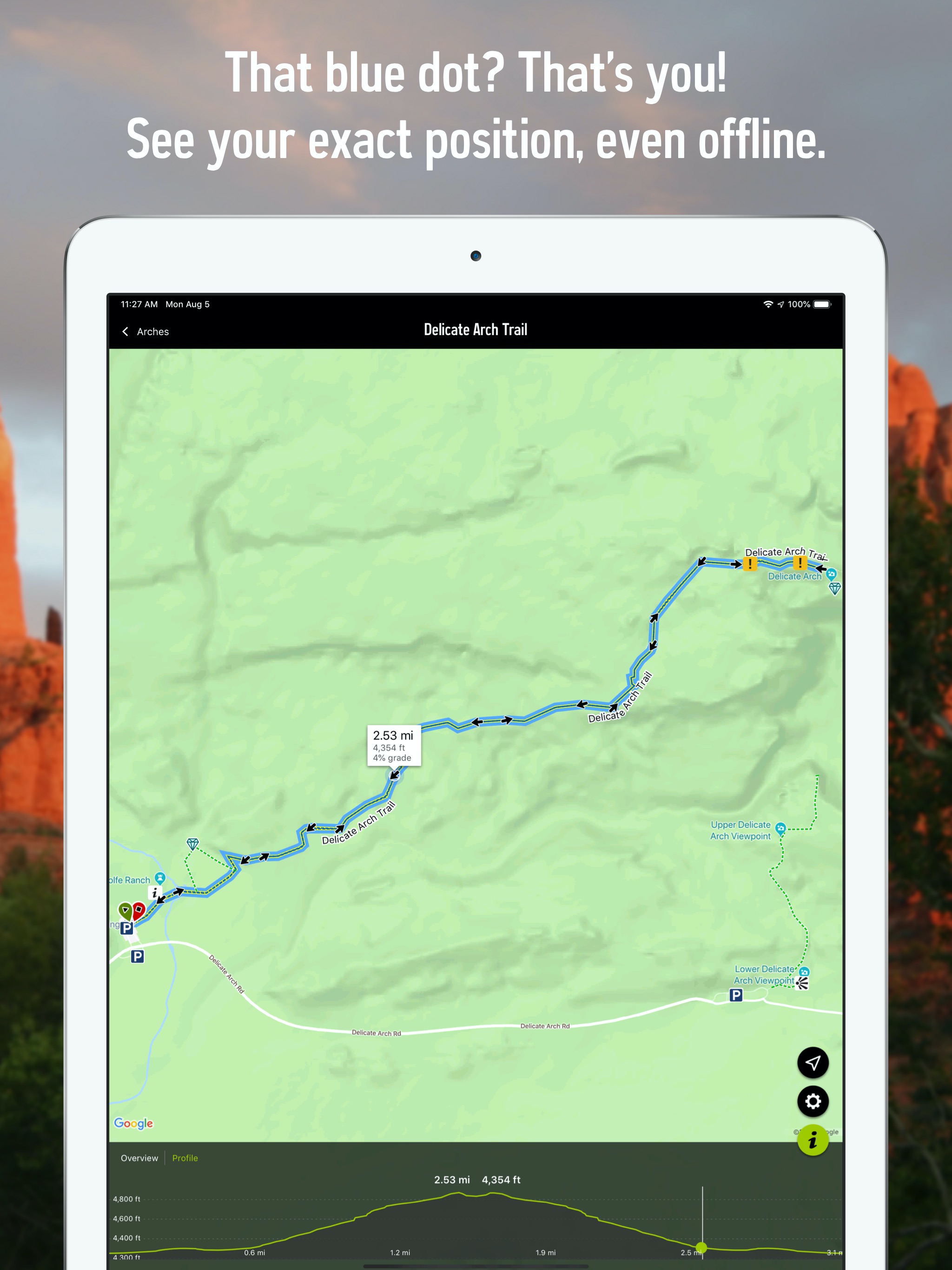
I spent last summer as an employee in GTNP and can say that this is the singles best app for hiking in the national parks. The map feature is amazing and intuitive, the trail profiles are super helpful, and the trails that have guides are very well written and helpful. Being able to see my location on the map even without service saved me a few times while hiking through the Utah desert. There are a few glitches every now and then, especially when switching between screens or trying to search for a trail, but overall works very well. If only this app worked outside the national parks.
There’s so much info here it’s great. Just about every NP is covered and even some National Monuments and such. But what really impressed me was today when I was at Pinnacles NP I wanted to make sure I was going the right way on a trail in a place where I had no cell service s nothing else would even work. I opened the Trail Map and not only did it show all the trails, but it pinpointed where I was on the trail exactly. Thinking it may have been a lark I continued on and then tried it again. It took a second or two to update and then had moved my location along the trail. I moved off the trail a bit and even then it updated my location in relation to the trail and the parking lot I was headed to. I don’t know whether that works in all parks or not, but it was pretty amazing and may actually save people who’ve lost track of a trail, if they can see exactly where they are in relation to the trail, even in areas where there’s no cell service. Not sure how that works, but I was impressed.
National Park Trail Guide is your comprehensive guide to hiking and site seeing in our National Parks. • Currently packing complete trail data and hi...