Check the acquisition promise
Read the store headline, screenshots and description. What problem is the app promising to solve?
Study the storefront ↗
LW Brands, LLC · iOS
Explore the ad evidence, study the storefront, and build your next acquisition hypothesis.
01 / Creative research
Read the store headline, screenshots and description. What problem is the app promising to solve?
Study the storefront ↗Explore apps with direct store-link matches. Compare their hooks and formats without assuming the same approach works here.
Browse observed advertisers ↗Store rankings and revenue estimates describe market context. They do not establish ad spend, conversions or ROAS.
Review the market context ↗02 / Storefront & product
Study the product story and store experience behind the acquisition funnel.


03 / Market context
Keep revenue, downloads and store rankings separate from advertising performance.
I have been using this app since it first came out a few years ago and still use it to manage my commute between SoCal and the Central Coast. It has been an absolute godsend! The app isn’t designed to be overly intelligent, but it does an amazing job of aggregating data from many different sources. Keep in mind, the data is only as reliable as the source it’s pulling from. Fortunately, the jurisdictions I travel through seem to keep their data updated in a timely manner.
I love this app and it will come in a lot of handy for my road trips. My first suggestion would be to add a toggle switch to turn closed road lines on or off. Currently, the only way to see which stretch of a road is closed is to zoom really far in, until a line appears over the road. I would love to see these stretches of closed roads when zoomed further out, like the whole state, to easily see what is closed. I would also make it red. It would also be awesome, for those who allow location services, to receive alerts for roads that just closed near you. So, one could set a radius of say 10, 25, 50, and 100 miles for when new road closures go into effect. This would be especially helpful because sometimes when driving to/through a snowy destination, the roads can close quickly. Assuming this app pulls info from CalTrans servers relatively fast, it would be awesome to get almost real time alerts if a road near you just closed, as it may be blocking your intended route.
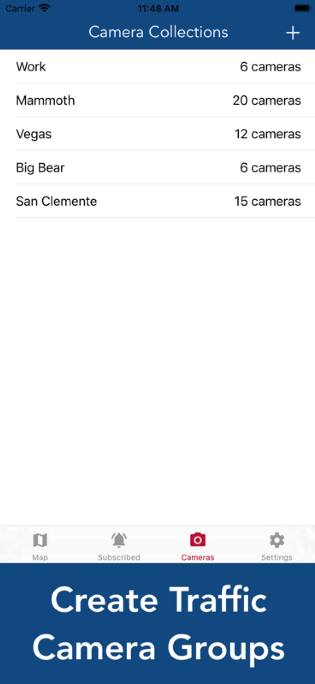
This app is a great replacement for the base caltrans app which is clunky and very difficult to use. before I had to use cal trans because it was the only easy way to get the data without going to the website but now this app blows it away. The camera groupings is an especially nice touch to reduce clutter. Only improvement would be to add the green/yellow/red traffic speed lines right on the map.
The best way to view Caltrans & California Highway Patrol (CHP) information. Live Stream CCTV Cameras Create customized groups of CCTV cameras for v...
| Name | Price | Type |
|---|---|---|
| Pro Subscription (Monthly) | $1.99 | Monthly |
| Pro Subscription (Yearly) | $4.99 | Yearly |